Atmospheric Rivers Batter Pacific Northwest Coast
It is the wettest time of the year for one of the wettest parts of the United States, and this week the Pacific Northwest is living up to its reputation. Two atmospheric rivers, bringing heavy rain, are pounding parts of Oregon and Washington state back-to-back on Friday and Saturday. Two other atmospheric rivers already dropped multiple inches of rain on both states earlier this week.
An atmospheric river is a narrow band of water vapour pushed by the wind. Loaded with moisture, it dumps rain or snow, and these rivers can be up to 2,000 miles long and 600 miles wide, according to F. Martin Ralph, director of the Center for Western Weather and Water Extremes at the University of California San Diego's Scripps Institution of Oceanography. It is literally a river in the sky, he said.
What makes this week dangerous is the compounding effect. What's really problematic is when you get compounding impacts from multiple atmospheric rivers, said Josh Weiss, a meteorologist with the National Oceanic and Atmospheric Administration's Weather Prediction Center. Those impacts include flash flooding, urban flooding and even landslides, he said. This year's atmospheric river season, which runs from October to March, is off to a fast start, Weiss added.
Monster waves and dangerous surf
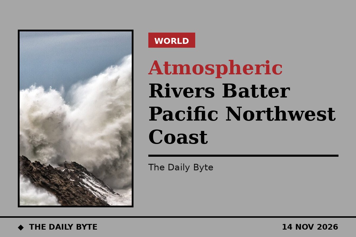
The greatest threat may be along the coastline, where massive ocean swells are expected to generate destructive surf and life-threatening sneaker waves. Large waves are pounding much of the West Coast this weekend, including Southern California, with destructive surf and coastal flooding possible in some areas around high tide.
Forecasters expect massive 20- to 25-foot waves and offshore seas exceeding 30 feet to slam the shoreline. Conditions along the Oregon and Washington coasts have been hazardous all week, with 15- to 20-foot westerly swells dominating the waters. This weekend, Jeff Michalski, a meteorologist at the National Weather Service in Seattle, said Washington's coast could be hit by significant 20-foot swells.
Sneaker waves are hazardous waves that can surge significantly farther up beaches than normal, sweeping over rocks and jetties with enough force to roll heavy drift logs. A scary scene unfolded in Winchester Bay, Oregon, where strong sneaker waves nearly swallowed two people and a dog along the beach. Thankfully, the dog was rescued and is safe with his owners. The National Weather Service warned that large breaking waves can cause injury, wash people off beaches and rocks, and capsize small boats near shore, and urged people to remain far away from the water's edge.
With rough surf in the forecast, the city of Santa Cruz announced it will close all beaches and the Santa Cruz Wharf through the weekend because of the dangerous high surf. High Surf Advisories are now in place along the Washington, Oregon and California coasts.
Rain, snow and high winds
Parts of Washington's Outer Coast recorded over 8 inches of rain between Tuesday and Thursday, and portions of the Northwest coast could see another 2 to 3 inches of rain through Monday. The heaviest rain was expected to shift south on Friday, with parts of Northern California picking up 3 to 5 inches of rain through Monday.
Wind gusts could reach 60 to 80 miles per hour along the coast and 40 miles per hour across the Interstate 5 corridor. Strong gusts could take down power lines, particularly where the ground is already saturated. High Wind Warnings have been issued across coastal Oregon and northern California through Saturday.
Colder air is expected to arrive late Sunday into Monday, dropping snow levels to around 3,500 to 4,000 feet and bringing another round of snow to the Cascade and Sierra passes. Parts of the northern Sierra could see up to 4 feet of snow above 7,000 feet, while even lower elevations could pick up between 8 inches and two feet of snow through Monday. Winter Storm Warnings are in effect across the eastern slopes of the Sierra.
The storms are hitting as El Nino's warm ocean waters contribute to rising sea levels and fuel storm systems, and as annual high tides known as king tides coincide with the weather. That leaves coastal and inland waterways along the West Coast at risk of flooding. According to 40 years of data from the Federal Emergency Management Agency, 90 percent or more of all flood damage in the western United States is from atmospheric rivers, Ralph said.
There is no sign of a let-up. The relentless atmospheric river pattern moved into the Northwest last week and shows no signs of stopping, with three more storms expected to blast the region over the next two weeks, potentially disrupting plans for the Thanksgiving holiday. Source: NPR | Source: Fox Weather