Charleville Flood Insurance Relief as New Maps Cut Risk
Residents of Charleville, an outback town in southwest Queensland, could soon see relief from soaring home insurance premiums after new flood mapping showed their flood risk is lower than insurers had assumed. Suncorp says the updated mapping is already allowing it to reduce the flood component of premiums for the same cover across its brands in the town.
Murweh Shire Council Mayor Shaun Radnedge said residents have faced premium rises of up to 400 percent in recent years. One house in the town was quoted 40,000 Australian dollars for cover, he told insuranceNEWS.com.au on 16 November 2026.
Outdated maps behind the high prices
Radnedge said the flood mapping insurers were using was up to 15 years out of date. The council has engaged an engineering consultant to provide updated maps to insurers, and the new mapping, funded by the Queensland Reconstruction Authority and due in December, shows reduced risk because of levees and diversions built to protect the town.
A Suncorp spokesperson said the insurer has been working with Murweh Shire Council and an independent flood engineer to develop new flood mapping that better reflects flood risk in Charleville. The spokesperson said the updated mapping is enabling Suncorp to reduce the flood component of premiums for the same cover across its brands in Charleville.
The council has been pressing this case for years. In a submission to an Australian parliamentary committee in 2024, Murweh Shire Council said the extreme cost of insurance in Charleville was forcing people not to insure their properties, and that premiums had risen by up to 400 percent in one year in some cases.
A town shaped by the Warrego River
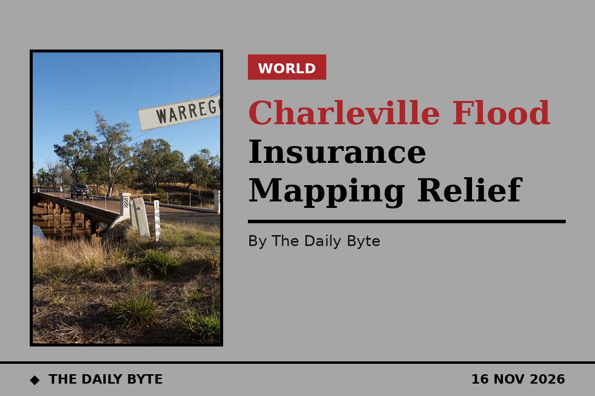
Charleville sits on the banks of the Warrego River and had a population of 3,971 at the 2021 census, according to the council’s parliamentary submission. The town suffered substantial flooding in April 1990, followed by further floods in 1997, 2008, 2010 and 2012.
Since then, the council and government have invested in flood mitigation, including a levee bank and a diversion at Bradley’s Gully. The council’s submission said the Warrego River peaked at 6.72 metres in 2024, a one-in-60-year event, yet there was no inundation of the town. It argued that the success of that mitigation was not being taken into account by insurers when they priced flood risk.
The council is also working with the Queensland Reconstruction Authority on a LiDAR survey of Charleville’s topography, flood risk assessments and a property-level portal that will inform residents and insurers of the flood risk to a particular property.
What it means for homeowners
For households that have been quoted thousands of dollars a year, or tens of thousands in the worst case, a lower flood component could make a real difference to whether they can afford cover at all. The council’s concern has been that unaffordable premiums leave residents exposed: if a home is uninsured, a single flood can wipe out a family’s savings.
The change does not guarantee lower premiums for every household or from every insurer. Flood risk still varies from street to street, and each insurer prices risk in its own way. But the council hopes that accurate, up-to-date mapping will give insurers a fairer picture of the protection the levees and diversions now provide.
Radnedge raised the issue at last week’s Insurance Council of Australia conference in Sydney, where he was a panellist discussing being on the front line for the next big flood, alongside New South Wales Planning and Public Spaces Minister Paul Scully, the Planning Institute of Australia and the New South Wales Reconstruction Authority. For Charleville, the message was simple: the town has built the defences, and now it wants the insurance prices to reflect them. insuranceNEWS.com.au and Murweh Shire Council submission to the Australian Parliament