Cyclone Akvan Heads for Andhra Coast as IMD Issues Watch
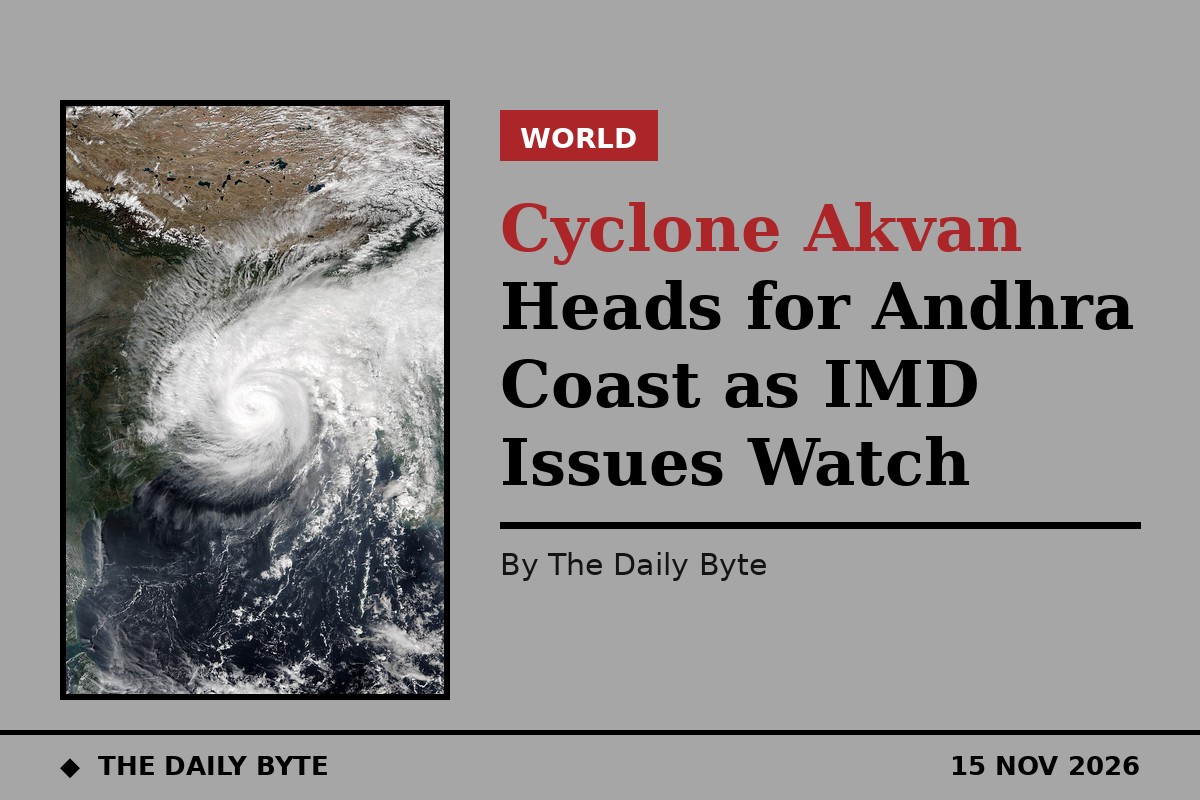
A depression over the Bay of Bengal is expected to strengthen into Cyclone Akvan on Monday 16 November and become a very severe cyclonic storm by Thursday 19 November, the India Meteorological Department (IMD) has said, putting the Andhra Pradesh coast on alert. A pre-cyclone watch is in force for the Andhra Pradesh and south Odisha coasts, and forecasters expect isolated extremely heavy rain over north coastal Andhra Pradesh on 19 and 20 November.
The system formed as a depression at 5:30am on Sunday 15 November over the south-east Bay of Bengal. At that time it lay about 700 kilometres west-south-west of Port Blair, 860 kilometres east-south-east of Chennai, 1,040 kilometres south-south-east of Visakhapatnam and 1,160 kilometres south-south-east of Gopalpur in Odisha, according to the IMD's first national bulletin of the day.
By 5:30pm the depression had moved slowly north-north-west at about 7 kilometres an hour and lay around 920 kilometres south-south-east of Visakhapatnam and 780 kilometres east-south-east of Chennai, with winds of 45 to 55 kilometres an hour gusting to 65. The IMD expects it to become a cyclonic storm on the evening of 16 November, a severe cyclonic storm on the evening of 17 November, and a very severe cyclonic storm by the evening of 19 November, with sustained winds of 120 to 130 kilometres an hour and gusts to 145.
Landfall point not yet fixed
No landfall place or time has been named yet. The IMD's forecast table ends at 5:30pm on 19 November with the very severe cyclonic storm still at sea, and forecast models still disagree on the track. Prakhar Jain, managing director of the Andhra Pradesh State Disaster Management Authority, said the system was following an “unusual track” and that a clearer picture was expected within 24 hours.
Some model runs point at the north Andhra coast, while others pull the system further south towards northern Tamil Nadu, which would bring its outer bands closer to Chennai. The IMD has warned of isolated extremely heavy rain of 21 centimetres or more over north coastal Andhra Pradesh on 19 and 20 November, with heavy rain also expected in parts of Tamil Nadu, Puducherry and Karaikal, and in southern Odisha.
Third storm in 20 days for Andhra coast
If Akvan reaches the Andhra coast as forecast, it would be the third cyclonic storm from the Bay of Bengal to cross the state's coast in 20 days, underlining a busy end to the north-east monsoon season. The name Akvan, contributed by Iran under the regional tropical cyclone naming roster, will be formally assigned once the system reaches cyclonic storm strength.
Sri Lanka is not expected to be hit directly, as the system is moving north-north-west, away from the island. Sri Lanka's Department of Meteorology has nevertheless forecast cloudy skies with showers in the Northern, North-central and Eastern provinces, along with thunderstorms and temporary strong winds, and has issued rain and marine warnings.
Fishermen have been advised to stay away from the deep sea, and disaster management officials in Andhra Pradesh are monitoring the system as the next IMD bulletins firm up the track. The IMD is expected to issue district-level wind, rainfall and storm surge warnings as the storm approaches the coast.