Google Maps South Korea Coordinates Removed
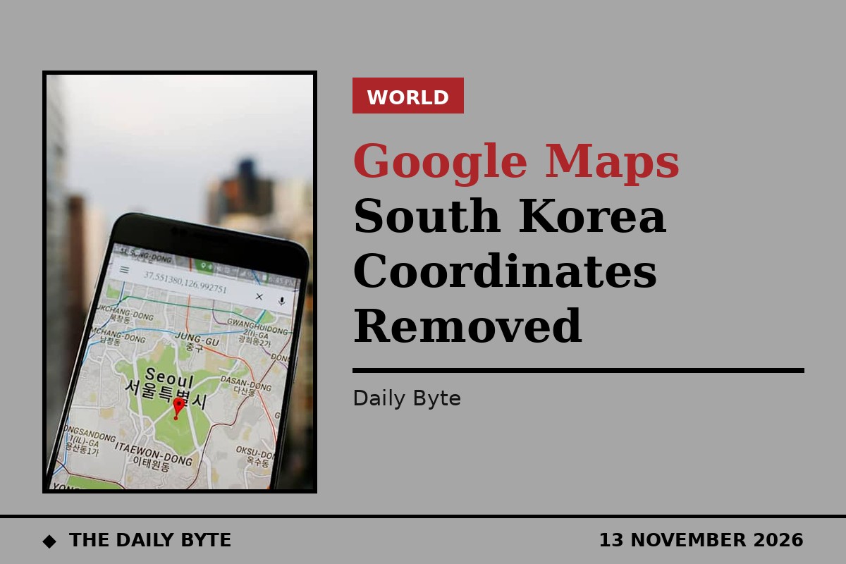
Google has removed latitude and longitude coordinates for South Korean territory from Google Maps and Google Earth, the government in Seoul said on Friday, 13 November 2026.
The removal was one of the security conditions attached to a permit granted in February 2026 allowing Google to export high-precision map data from South Korea. The February approval marked a major reversal of the stance Seoul had held for about two decades, after it rejected Google's earlier requests in 2007 and 2016 over fears that sensitive military and security locations could be exposed.
Street View imagery to be deleted
Google must also delete Street View imagery covering military and security facilities across South Korea, including the areas around those sites, according to an inter-agency press release issued by the government. The government said it would suspend or revoke the export permit if serious breaches of the conditions occurred.
The ban reflects Seoul's concern that precise location data could pinpoint defence installations in a country still technically at war with North Korea. South Korea has some of the strictest map-data rules in the world, and foreign mapping services have long operated there with reduced detail.
TMAP to process local map data
Google has chosen South Korean navigation company TMAP Mobility to process base map data for its local mapping service, Yonhap News Agency reported, citing industry sources. Google is expected to use data that TMAP processes on domestic servers to government security standards from as early as next year.
The cooperation is limited to static information such as roads, buildings and addresses, and excludes TMAP users' personal data, real-time location and driving routes. The arrangement lets Google offer a fuller local service while keeping high-precision data inside South Korea under Seoul's security rules.
Sources: Reuters and Analytics Insight.