How Does GPS Work? Satellites Explained
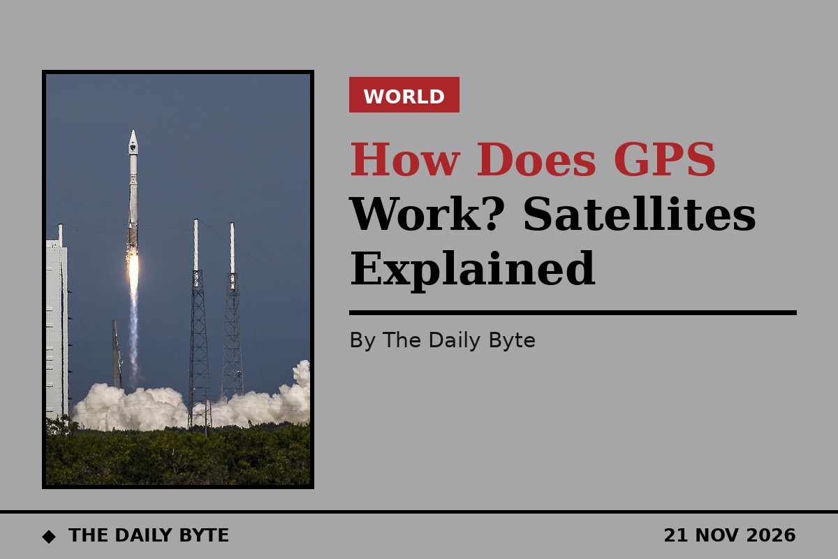
GPS works by timing radio signals from satellites. At least four satellites, orbiting about 20,200 kilometres overhead and each carrying an atomic clock, broadcast their exact position and the exact time the signal was sent. Your phone or car receiver measures how long each signal took to arrive, multiplies that time by the speed of light to work out how far away each satellite is, and then uses those distances to calculate where on Earth it must be. It is, at heart, a system for measuring time very precisely and turning the answers into a position.
This explainer sets out the three parts of the system, how a receiver turns signal times into a location, why the clocks have to be so accurate that Einstein's relativity matters, and why the signal sometimes fails indoors or in a city street.
The three parts of the system
GPS, the Global Positioning System, has three segments. The space segment is the constellation itself: the United States government commits to keeping at least 24 satellites operational, and in practice around 31 are in service, arranged in six orbital planes tilted at 55 degrees to the equator. Each satellite circles the Earth about twice a day, at an altitude of 20,200 kilometres and a speed of roughly 14,000 kilometres per hour. The arrangement guarantees that at least four satellites are visible from almost anywhere on the planet at any time, and often six to twelve are overhead.
The control segment is the ground system that keeps the constellation honest. A master control station at Schriever Space Force Base in Colorado Springs, working with monitor stations and ground antennas spread around the world, tracks every satellite, works out its exact orbit and the error in its clock, and uploads corrected data to the satellites, which then rebroadcast it as part of their navigation message. Without this constant correction, the satellites would drift off their published positions and the system would quickly become useless.
The user segment is every receiver: phones, cars, aircraft, ships, farm tractors, survey instruments and the timing equipment in power grids and financial networks. A receiver does nothing but listen. It sends no signal back to the satellites, which is why billions of devices can use GPS at once without overloading it. GPS is owned by the United States government and operated by the United States Space Force, and the civilian signal is provided free of charge worldwide.
How a receiver turns times into a position
Each satellite continuously broadcasts a radio signal on the L1 frequency of 1575.42 megahertz, and on other frequencies as well, carrying two things: the satellite's own position in orbit, and the exact moment the signal left the satellite, stamped by its atomic clock. The receiver notes the moment the signal arrives on its own, much cheaper, quartz clock, subtracts one from the other, and multiplies the travel time by the speed of light, 299,792,458 metres per second. That gives the distance to the satellite, a calculation the receiver repeats for every satellite it can hear.
One distance places the receiver somewhere on the surface of an imaginary sphere centred on that satellite. A second distance gives a second sphere, and the two spheres intersect in a circle. A third sphere narrows that circle to two points, and one of those points is usually far out in space or deep inside the Earth, leaving a single point on or near the surface as the answer. That method is called trilateration, and it uses distances, not angles, which is why it is different from the triangulation used in traditional surveying.
In practice a fourth satellite is needed, because the receiver's own clock is not an atomic clock and its error is unknown. The fourth measurement provides the extra equation needed to solve for that clock error at the same time as the position, so the receiver works out latitude, longitude, altitude and the correct time in one calculation. That is also why a GPS receiver is, incidentally, one of the most accurate clocks most people own: it has to solve for the time in order to know where it is.
Why the clocks have to be so accurate
The whole system depends on timing, and the numbers are unforgiving. Radio waves travel at the speed of light, so a timing error of one millionth of a second translates into a position error of about 300 metres. The atomic clocks on the satellites are accurate to about a billionth of a second, and the control segment keeps them synchronised to within 20 to 30 nanoseconds. That is the precision the system needs, and it is the reason GPS is really a timekeeping system that happens to give positions.
It is also the reason Einstein's theories of relativity are not an abstract detail but a daily engineering correction. Because the satellites are moving fast relative to the ground, special relativity predicts their clocks should run slow by about seven microseconds a day. Because they are further from the Earth's gravity, general relativity predicts their clocks should run fast by about forty-five microseconds a day. The net effect is that the satellite clocks gain about thirty-eight microseconds a day relative to clocks on the ground, and if that were not corrected, positions would drift by roughly ten kilometres a day. The clocks are adjusted before launch so that they tick at the right rate once in orbit.
The history of the system explains why it is built this way. GPS was developed by the United States Department of Defense as a military navigation system, under the name NAVSTAR. The first satellite was launched in 1978, the constellation reached full operational capability in 1995, and until May 2000 the civilian signal was deliberately degraded by a feature called Selective Availability, which limited civilian accuracy to about a hundred metres. When that was switched off, civilian accuracy improved overnight to the few metres we expect today. Modern smartphones are typically accurate to within about 4.9 metres under open sky, according to GPS.gov, and dedicated survey equipment using correction signals can do far better, down to centimetres.
Why GPS sometimes fails
The signals are faint by the time they reach the ground, having travelled 20,200 kilometres from a transmitter less powerful than a household light bulb, and they are easily blocked. Buildings, bridges, trees and hills can hide satellites or reflect their signals, and a reflected signal arrives late, which makes the receiver think the satellite is further away than it is. That error, called multipath, is the main reason a phone's position can jump around between tall buildings, and why a city street with a clear view of the sky in only one direction gives a worse fix than an open field.
Indoors, the signal is usually too weak to use at all, which is why a phone switches to other methods inside: nearby Wi-Fi networks, mobile phone masts and Bluetooth beacons, whose positions are known, can be used to estimate a location instead. Assisted GPS, or A-GPS, speeds up the first fix by downloading the satellites' orbital data over the mobile network instead of waiting up to a minute for the slow satellite broadcast. None of this changes the underlying method; it only helps the receiver get started or fills in when the sky is hidden.
GPS is also not the only system of its kind. Russia operates GLONASS, the European Union operates Galileo, and China operates BeiDou, and most modern phones listen to several of these constellations at once, which improves accuracy and availability. Together they are called Global Navigation Satellite Systems, and they all work on the same principle: satellites broadcasting precise times, receivers measuring delays, and trilateration turning those delays into a position.
Frequently asked questions
Does GPS need the internet to work? No. A GPS receiver only needs a clear view of the sky. The internet helps it start faster, by supplying orbital data and by providing maps, but the position itself comes from the satellites, and a dedicated GPS unit with no data connection at all can find its position anywhere outdoors.
How accurate is the GPS in a phone? Typically within about 4.9 metres under open sky, according to GPS.gov. Accuracy worsens near tall buildings, under trees and indoors, and improves in open country. Dedicated survey receivers using correction signals can reach centimetre accuracy.
Does my phone send anything to the satellites? No. GPS receivers only listen. The satellites broadcast continuously, and any number of receivers can use the same signals at the same time. Your phone's location is calculated inside the phone and is not sent to the satellites.
Why does GPS drain the battery? Because the receiver has to stay switched on and listen continuously, and the processor has to run the position calculations several times a second. A phone that is navigating is working hard, even though it is only listening.
What happens if the satellites stop working? Receivers would lose their position fixes, and the many systems that depend on GPS timing, from power grids to financial transactions, would have to fall back on their own clocks. That is why countries maintain backup systems and why the control segment monitors the constellation constantly.