Japan Bomb Cyclone Brings Heavy Snow to Holiday
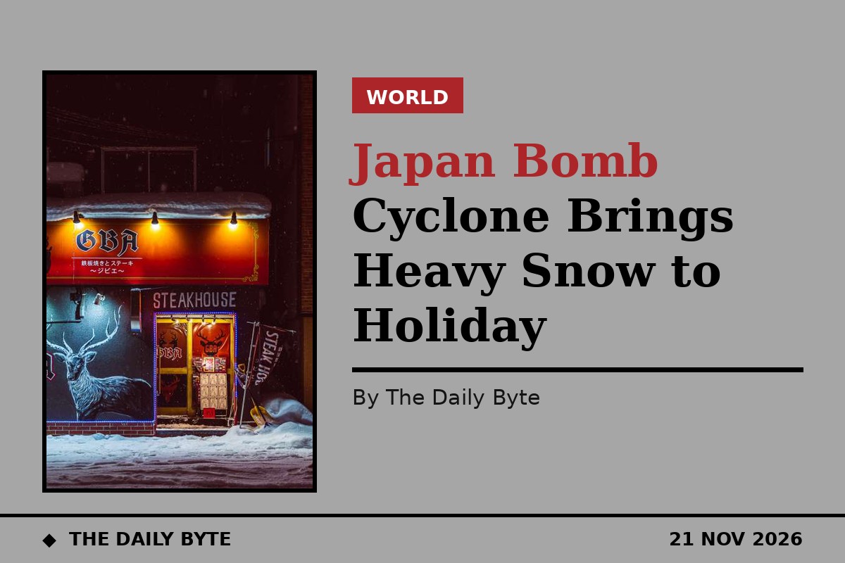
TOKYO — A rapidly intensifying low-pressure system, described by forecasters as a bomb cyclone, has brought violent winds and heavy snow to Japan's Sea of Japan coast, with more snow forecast as the country heads into a three-day holiday weekend.
The storm developed from 19 November, when a fast-deepening low drove strong winds along the coast from northern to eastern Japan. Kanazawa, in Ishikawa Prefecture, recorded a maximum instantaneous wind speed of 27.3 metres per second, and gusts of up to 35 metres per second, equivalent to the force of a typhoon, were forecast for Hokkaido and the Hokuriku region.
As a mass of intensely cold air moved over Japan, rain along the Sea of Japan coast turned to snow and the winter pressure pattern strengthened through 20 November. Hokkaido faced the heaviest snowfall, with up to 50 centimetres forecast over the 24 hours ending at midday on 20 November in western Shiribeshi and areas around the foot of Mount Yotei. The Kamikawa and Sorachi regions could receive up to 40 centimetres.
Sapporo's heaviest snow of the season
In Sapporo, snowfall was expected to reach 10 to 20 centimetres in Chuo Ward and as much as 30 centimetres in mountainous districts, with the city's daytime high forecast to reach just 1 degree Celsius — temperatures more typical of the end of December. Sapporo went on to record 15 centimetres of snow, its heaviest snowfall of the season so far.
The hazardous weather caused a major traffic disruption on the Doto Expressway in Hokkaido. At around 6 p.m. on 19 November, three passenger vehicles were involved in an accident between the Tokachishimizu and Tomamu interchanges, and a large trailer then collided with the vehicles, blocking the road. Around 30 vehicles were left stranded for approximately four hours as traffic backed up along the expressway.
Snow and blizzard conditions continued across central and southern Hokkaido on 20 November, threatening disruption to trains, buses and other transport. Gale warnings had been issued for Ishikari City and Okushiri Town in Hokkaido, where extremely strong westerly winds were expected to continue through midday on 20 November.
A cold holiday weekend ahead
The three-day weekend, from Saturday 21 November to Monday 23 November, includes the Labor Thanksgiving Day holiday on Monday. Forecasters say the winter storm will continue into the first day of the weekend, with snow and rain expected mainly along the Sea of Japan coast from Hokuriku northward, and strong winds persisting in places, potentially causing blizzards and driving rain.
Expected snowfall to the morning of 22 November reaches 50 centimetres in Tohoku and Tokai, 30 centimetres in Hokkaido and 20 centimetres in the Kanto-Koshin and Hokuriku regions. Mountainous areas in eastern Japan and Tohoku have already seen accumulations of around 50 centimetres, and forecasters have warned of avalanches and snow falling from roofs. Hokuriku faces particular vigilance against landslides caused by heavy rain.
Meteorologists are also monitoring the Japan Sea Polar Air Mass Convergence Zone, a weather phenomenon that can produce concentrated bands of heavy snowfall when cold north-westerly winds converge over the Sea of Japan. Its influence could extend snowfall into mountainous areas of the Kanto region over the weekend.
By contrast, much of the Pacific coast is expected to enjoy relatively favourable weather during the holiday, with Tokyo, Nagoya and other major cities forecast to see generally sunny and stable conditions. Morning temperatures on Monday are expected to fall to 4 degrees in Osaka, Nagoya and Tokyo, cold enough for frost even in urban areas. Conditions are expected to deteriorate again from 23 November, as a low-pressure system and an associated front approach Japan, with another strong winter pressure pattern forecast around 25 November.