Snow to hit Scotland on Wednesday, Met Office says
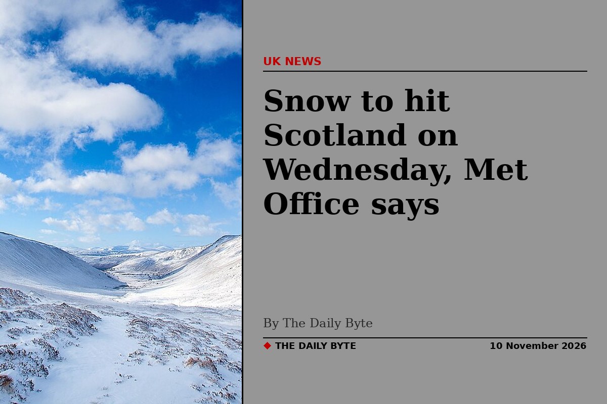
Snow could fall across ten areas of northern Scotland and the Northern Isles on Wednesday night, the Met Office has said, in what could be the first snowfall of the winter. Wintry showers are expected across the far north, with snow possibly falling briefly on lower ground, particularly in Shetland, overnight on Wednesday and into Thursday.
Forecasters said any snow that settles is likely to be confined to higher ground. Rain is expected to continue across parts of southern England and Wales at the same time, while strong winds are also forecast in the far northeast.
Ten areas named in the forecast
The Met Office named ten areas where snow is possible: Caithness, Sutherland, Ross-shire, Cromartyshire, Inverness-shire, Nairnshire, Moray, Banffshire, Orkney Islands and Shetland Islands.
Met Office Chief Meteorologist Jason Kelly said: "Snow showers could briefly fall on lower ground in the far northeast of Scotland, mainly Shetland, overnight on Wednesday and into Thursday." He added: "However, snow may only settle on higher ground. Snow can fall in the far northeast from late October to May, so this is not unusual for the time of year."
Temperatures are expected to reach between 1C and 5C in Scotland at 9am on Wednesday, while the highest temperature in the UK, 11C, is predicted in Plymouth.
A cold end to the week
The wintry weather follows a largely settled start to the week. Monday brought a chilly and foggy start, with many waking up to temperatures as low as 3C in the south of England and minus 3C in parts of Wales.
Overnight into Tuesday, fog is forecast across parts of central and northern England and Wales, while rain spreads across southern areas, reaching southeast England and southern Wales. Frost is expected to develop further north, becoming most widespread in rural Scotland. Elsewhere, conditions should remain largely dry with sunny spells, although fog and low cloud may be slow to clear.
Through Thursday and Friday, colder air will spread further south across the UK. The Met Office said most places will become dry with some clear or sunny spells, although showers remain possible in the north and parts of the east, some of them wintry over high ground in Scotland. Temperatures are expected to fall below average widely by Thursday and particularly Friday, as frost becomes more widespread, and the far northeast will also feel particularly cold in stronger winds.
What about the polar vortex?
The forecast comes days after Met Office experts cautioned that the polar vortex, the band of winds high above the North Pole, could be disrupted in the coming weeks, raising the chance of colder air reaching the UK later in November.
Met Office forecaster Marco Petagna said warming was taking place in the stratosphere and that the polar vortex there was beginning to weaken. He cautioned that the effect is not guaranteed: a major warming event occurred last November, he said, but it did not directly bring much cold weather to the UK.
For now, the message for the week ahead is simpler. The north turns colder from Wednesday, with the chance of the season's first snow on high ground in the far north, while the south stays milder but wet at times. Anyone travelling in northern Scotland on Wednesday night should check the latest forecast and warnings before setting out.