Papua Quake 5.1: No Tsunami Threat to Malaysia
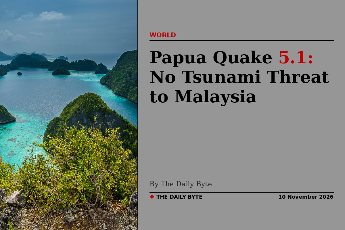
A moderate 5.1-magnitude earthquake struck western Papua, Indonesia, at 4.34pm local time on Tuesday 10 November, Malaysia's Meteorological Department said. The department confirmed there is no tsunami threat to Malaysia.
The tremor was recorded at a depth of 10 kilometres, about 251 kilometres east of Sorong, at coordinates 0.2 degrees south and 133.3 degrees east. Indonesia's meteorology and geophysics agency recorded the same tremor at magnitude 5.3, with light shaking reported in Manokwari.
A seismically active region
Western Papua sits in one of the world's most earthquake-prone regions, where the Australian and Pacific tectonic plates meet. The area experiences frequent tremors, and several moderate quakes were recorded across Indonesia and Papua New Guinea on the same day, including a magnitude 5.4 tremor near the Tanimbar Islands and a magnitude 5.2 quake near Popondetta in Papua New Guinea.
MetMalaysia said that despite the shallow depth of the Papua tremor, no tsunami threat was detected for Malaysia. No tsunami warning was issued for the event.
Why the region shakes so often
Papua's position on the Pacific Ring of Fire means tremors are a regular part of life for its residents. Stronger quakes in the region have caused damage in the past, which is why even moderate tremors are closely watched by seismologists and disaster officials across Indonesia and neighbouring countries.
Read the BusinessToday report and the QuakeWire report.