Peru Earthquake: Magnitude 6.7 Hits Near Carhuamayo
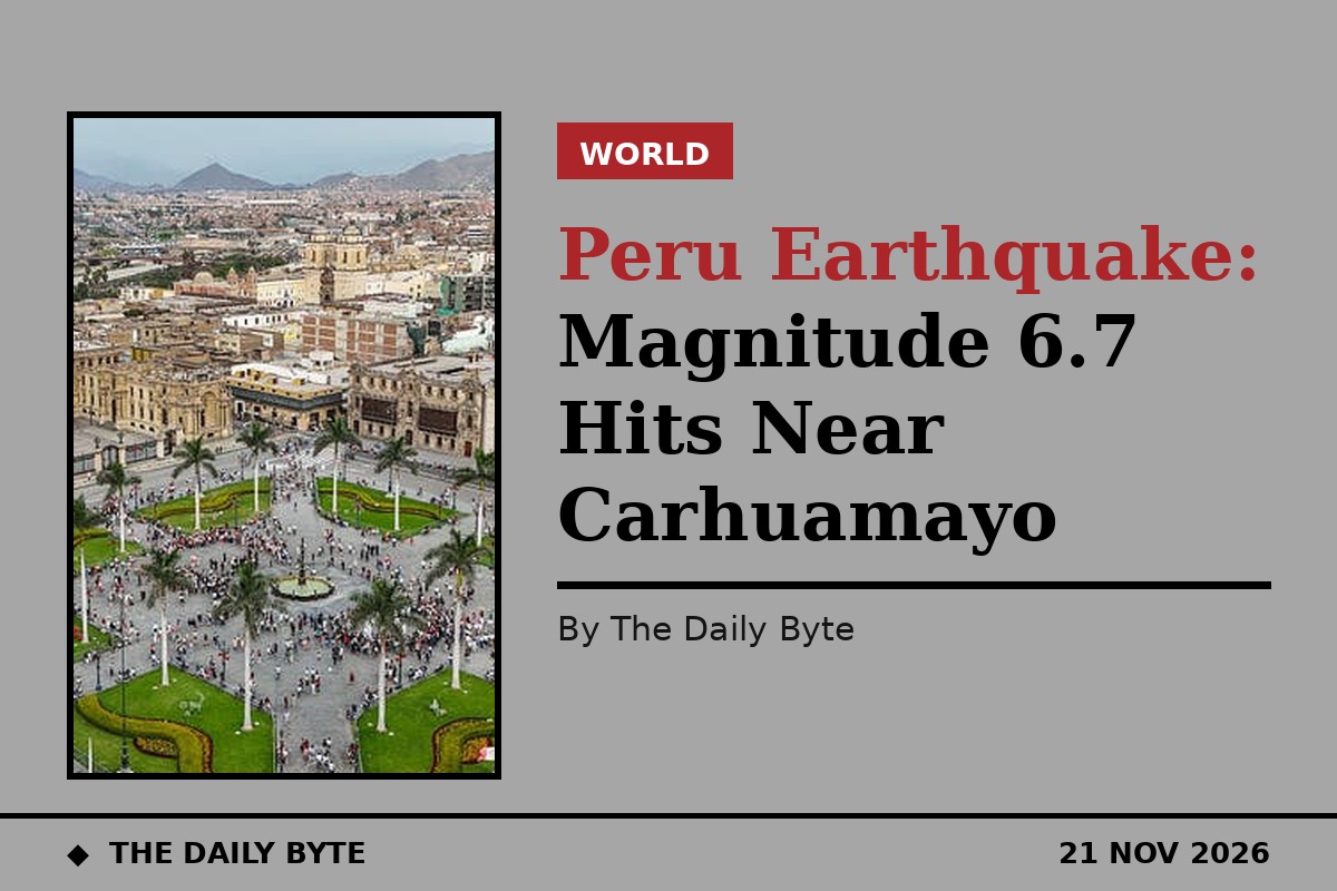
A magnitude 6.7 earthquake struck central Peru on Friday evening, shaking the capital, Lima, and sending alarmed residents out of buildings and into the streets. Officials reported no immediate casualties or structural damage.
The tremor struck at 7.09pm local time on Friday 20 November, or 00.09 UTC on Saturday 21 November, according to the United States Geological Survey (USGS), which put the epicentre about 9 kilometres north-east of Carhuamayo, in the Junin region of the central Andes, at a depth of 108 kilometres. Peru's Geophysical Institute confirmed the same magnitude and placed the epicentre near Junin.
The epicentre lies in a mountainous, thinly populated part of the high Andes north-east of Lima, which helps explain why a quake of this size caused so little immediate disruption. The USGS said there was little or no population in the area most strongly affected.
Shaking felt in Lima, no damage reported
Strong shaking was felt in Lima, the capital of about 10 million people, which lies to the south-west of the epicentre. Residents hurried out of buildings and onto the streets as the tremor rolled through the city, although no damage was reported there.
Peru's Geophysical Institute confirmed that no injuries or property losses had been recorded following the tremor. Abdel Vega, the mayor of the nearby town of Carhuamayo, told a local television broadcaster that there were no initial signs of victims or material damage.
Deep quake, low damage risk
The USGS said there was a low likelihood of casualties and damage, adding that there was little or no population in the area most strongly affected. It also noted that buildings in the region are generally highly vulnerable to earthquake shaking, although some resistant structures exist.
The depth of the quake, more than 100 kilometres below the surface, is likely to have limited the damage at ground level, even though a tremor of this size was felt across a wide area. The US National Tsunami Warning Center confirmed there was no tsunami threat to California, Oregon, Washington, British Columbia or Alaska.
Peru sits on the Ring of Fire
Peru sits along the Pacific Ring of Fire, a 40,000-kilometre belt of volcanoes and seismic fault lines encircling the Pacific Basin that accounts for most of the world's earthquakes. Strong tremors are a regular threat in the Andean nation, where the Nazca Plate slides beneath the South American Plate.
The latest tremor follows two notable quakes in Peru earlier this year, including a magnitude 6.7 earthquake in August that injured two people and damaged homes, schools and health centres, and a quake in the Junin region in July that left six people dead and 30 injured.