Polar vortex reversal: historic November shift hits Canada
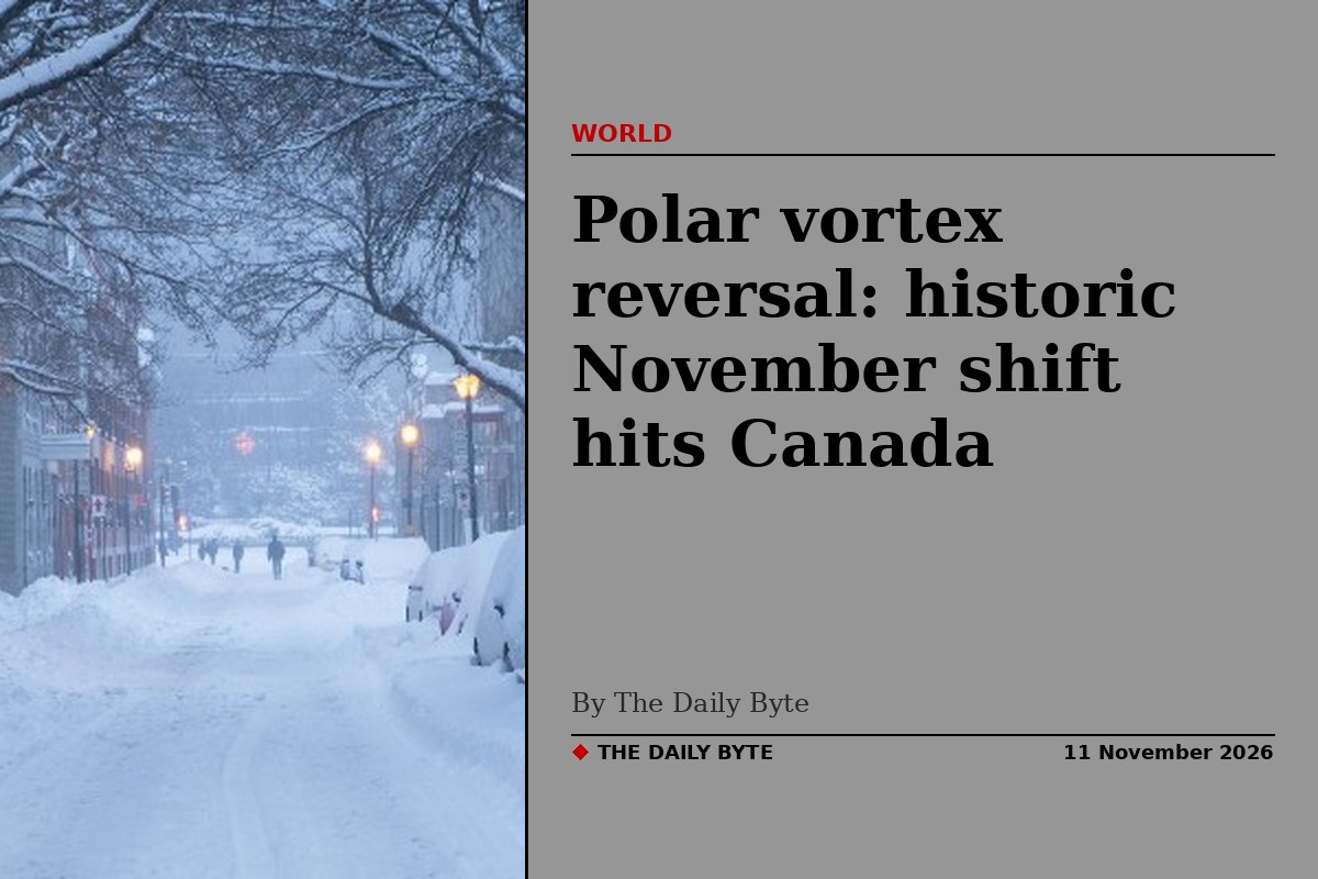
The polar vortex has reversed direction in early November in what meteorologists describe as a historic disruption, with the powerful ring of winds high above the Arctic grinding to a halt and turning back on itself.
The Weather Network reported on 11 November that the vortex had "ground to a halt and has actually reversed direction as of Nov. 10". The current wind speed in the stratosphere, about 30 kilometres above the Arctic, is minus 0.1 metres per second, described as walking speed, against a typical speed of 25 metres per second. That is about four per cent of normal values, at a time of year when the vortex should be strengthening.
Scientists say it is the earliest such disruption they have observed. European Centre for Medium-Range Weather Forecasts (ECMWF) principal scientists Tim Stockdale and Frederic Vitart told the AFP news agency: "As far as we know, this is the earliest stratospheric vortex disruption that has been observed."
Why this reversal is historic
The polar vortex is a vast region of cold, low-pressure air that normally circulates from west to east high above the Arctic. When it is disrupted, large atmospheric waves from the lower atmosphere surge upward and trigger rapid warming in the stratosphere, known as a sudden stratospheric warming. That can weaken, reverse or even split the vortex.
A November sudden stratospheric warming has happened only three times in records dating back to the 1950s, in 1958, 1968 and 2025, all on 28 November. The current event is about three weeks earlier than those previous earliest cases.
What makes the breakdown more remarkable is that powerful El Nino events typically strengthen the polar vortex. The Weather Network said the sudden reversal is "the exact opposite of what history would suggest", noting that a record-breaking El Nino is under way at the same time.
What it means for Canada right now
Despite the drama high above the Arctic, Canadians should not expect an immediate freeze. The Weather Network said the disruption's influence works slowly downward through the atmosphere, shifting the jet stream and enhancing blocking patterns that can eventually allow Arctic air to surge farther south.
For now, the opposite is happening on the ground. A record-breaking El Nino and an energised Pacific jet stream are delivering widespread, above-seasonal temperatures across the heart of Canada, and the country's Arctic is unusually mild, with exceptionally warm temperatures extending deep into the north.
Forecasters also note a complication: even if the upper-level pattern becomes favourable for cold air to move south in a few weeks, there is little deep reservoir of frigid air on the North American side of the pole. The coldest air is currently over Siberia, so it would take longer to reach North America.
When could cold air arrive?
The Weather Network's timeline puts the historic disruption at 10 to 13 November, followed by a vortex recovery from 14 to 20 November. Forecast models show stratospheric winds increasing rapidly back to normal by the third week of November, eventually reaching more than 25 metres per second.
But the effects are expected to linger. The changes are likely to create a ripple effect around the Northern Hemisphere, unfolding for weeks after the warming, even as the vortex itself bounces back. Signals suggest North America's weather pattern could begin changing during the final 10 days of November, with a possible shift in circulation over the north-east Pacific that would favour ridging towards Alaska and help Arctic air slide farther south.
Forecasters stress that the outcome is far from certain. A disrupted vortex can increase the chances of Arctic air moving south, especially if a blocking pattern develops, but a powerful El Nino remains the dominant driver of the seasonal forecast and still favours above-normal temperatures overall. The Weather Network said it would not fundamentally rewrite its winter forecast, but the disruption "just added another layer of complexity".
Frequently asked questions
What is the polar vortex? It is a ring of fast winds circling the North Pole about 10 to 30 miles up in the stratosphere, which keeps the coldest air locked over the Arctic. When it weakens or reverses, cold air can spill farther south.
Will Canada get a cold snap? Not immediately. Forecasters say any surface effects would take weeks to arrive, and a strong El Nino still favours a mild November overall. A disrupted vortex increases the chances of Arctic air sliding south later in November or in December, but where it goes remains uncertain.
Why did the vortex weaken so early? Powerful atmospheric waves travelling upward from the lower atmosphere disrupted the vortex and triggered rapid warming in the stratosphere. The record-breaking El Nino may have contributed by increasing wave activity, although its role remains highly uncertain.