Popocatepetl Ash Cloud Reaches 6.4km Over Central Mexico
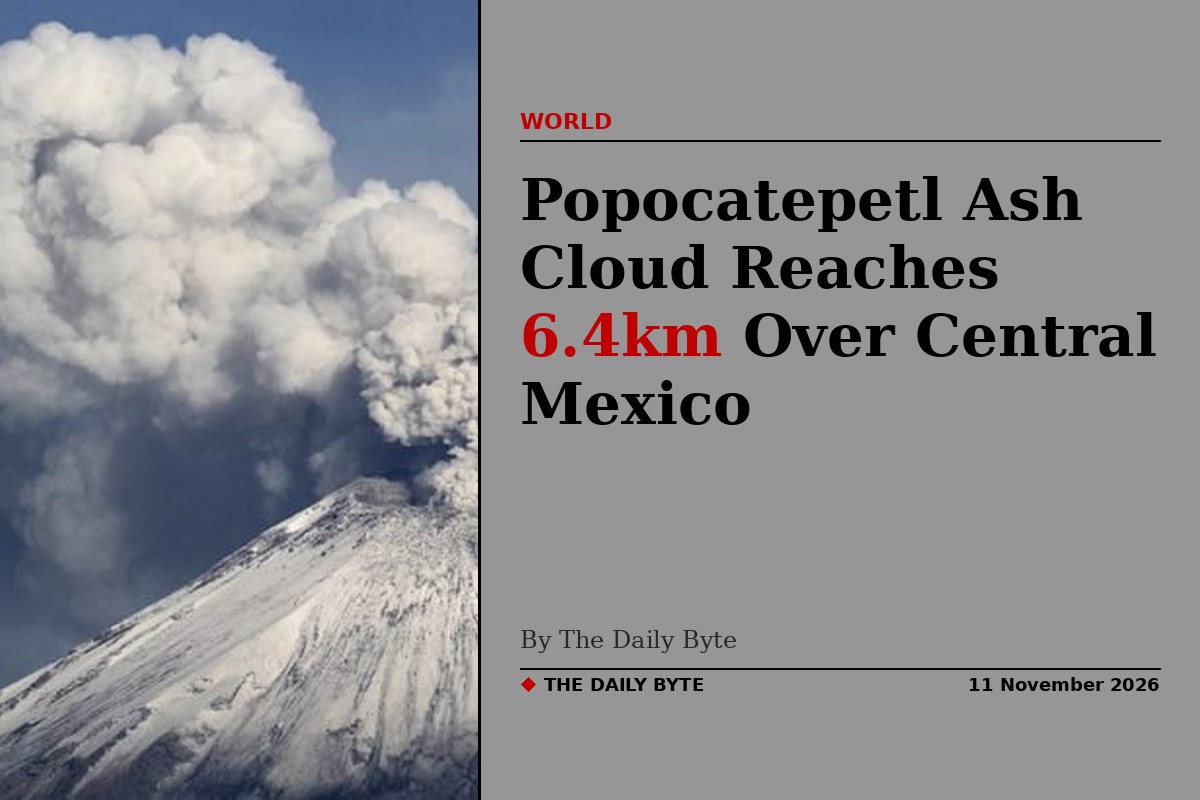
An ash cloud from Popocatépetl volcano in Mexico was observed at 6.4 kilometres (21,000 feet) altitude in the early hours of Wednesday, 11 November, according to the Washington Volcanic Ash Advisory Center (VAAC). The cloud was detected in satellite and webcam imagery and reported by the Mexico City Meteorological Watch Office.
The ash was first observed at 04:11 UTC on 11 November. It extended up to about 46 kilometres (29 miles) from the summit, and model guidance forecast it moving towards the north-east at the same altitude through the next 18 hours. The height estimate was based on satellite data, SIGMET reports and numerical weather prediction models. No aviation colour code was stated in the advisory.
Fresh advisories through the morning
The US National Oceanic and Atmospheric Administration’s volcanic ash advisory service listed further Popocatépetl advisories through the morning of 11 November, at 01:09, 04:24 and 08:04 UTC, as the volcano continued to emit ash. The advisories are issued so that airlines and air traffic controllers can keep aircraft clear of ash, which can damage jet engines and reduce visibility.
Popocatépetl, a large stratovolcano south-east of Mexico City in central Mexico, is one of the country’s most closely watched volcanoes. Its summit stands 17,693 feet above sea level, and it has been in a state of continuing eruptive activity, with frequent exhalations of ash, gas and steam.
A week of ash emissions
The 11 November cloud was the latest in a run of ash emissions from the volcano. Similar ash clouds were observed at 6.1 kilometres (20,000 feet) on 9 and 10 November, drifting north and north-west of the summit, according to the Washington VAAC. On 10 November, a plume was reported rising to 20,000 feet and moving north at about five knots, with ongoing emissions observed up to about 22 kilometres north-east of the summit.
Earlier in the week, on 6 November, the VAAC also reported an ash column at 20,000 feet, flight level 200, moving north-east. Mexico’s National Disaster Prevention Centre, CENAPRED, reported that eruptive activity was low during 28 October to 4 November, with the seismic network recording between 29 and 85 long-period events per day, according to the Smithsonian Institution and US Geological Survey weekly report.
Why ash clouds matter
Volcanic ash advisories matter well beyond the volcano itself. Fine ash can drift for tens of kilometres, settle on towns and farmland around the volcano, and force changes to flight paths over central Mexico. Popocatépetl sits within easy reach of Mexico City and Puebla, two of the country’s largest urban areas, so its activity is monitored around the clock by CENAPRED and by satellite.
For now, the advisories describe continuing emissions rather than a major escalation. The Washington VAAC will keep issuing updates as new satellite and webcam observations come in, and the next advisory was due within hours of the early-morning bulletin. People living near the volcano are advised to follow guidance from Mexico’s civil protection authorities on ashfall.
Sources: The Watchers; NOAA OSPO Current Volcanic Ash Advisories.