US Cold Front Brings First Freeze to 30 States
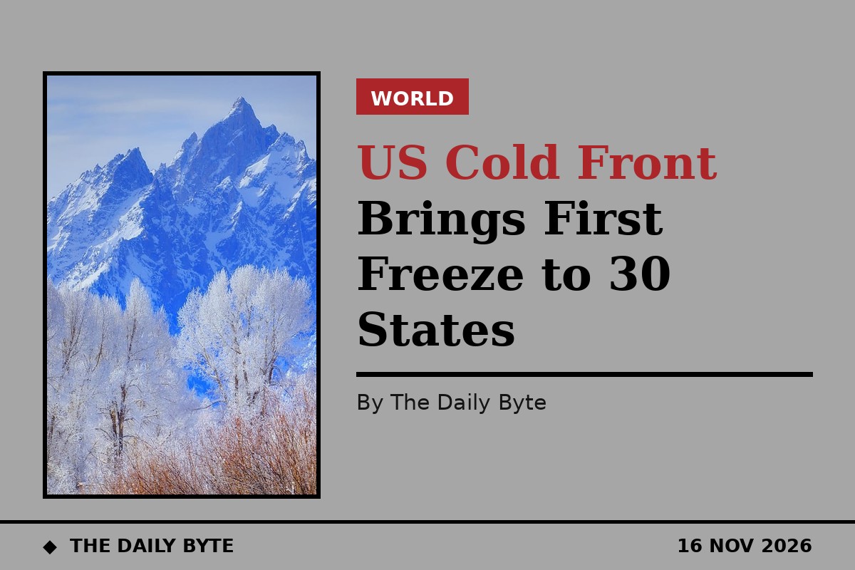
More than 30 states across the United States have faced frost and freezing temperatures this weekend, as the coldest air of the season swept south and brought the first freeze of autumn to millions of people.
Behind a departing nor'easter, a large dip in the polar jet stream allowed cold Canadian air to spill across the entire eastern United States, including the Southeast and Florida, after what has been the warmest autumn on record for many places in the eastern and central US.
The FOX Forecast Center said frost and freeze conditions would extend across more than 30 states east of the Rocky Mountains, with below-average temperatures expected for more than 230 million people by Friday. More than 30 million people woke up to cold alerts on Saturday across six states in the Deep South and Southeast.
The first freeze arrives late
For many cities, this was the first freeze of the season, and it arrived weeks late. Prolonged autumn warmth, driven by El Nino, delayed typical freeze dates by several weeks, the FOX Forecast Center said.
In Omaha, Nebraska, the first freeze of the autumn came on Thursday 12 November, when the low at Eppley Airfield fell to 28 degrees Fahrenheit. Kansas City also recorded its first hard freeze of the season, with overnight lows in the mid to upper 20s.
Major cities including Chicago and Detroit saw sub-freezing temperatures for the first time this year, while the first freeze also reached the Mississippi and Tennessee valleys. Freeze warnings and frost advisories stretched on Saturday morning from eastern Oklahoma to the Carolinas and as far south as southern Alabama and north Florida.
Even Florida felt the change. Communities in central Florida, including Orlando and Tampa, were expected to see morning lows in the mid to upper 40s on Saturday and Sunday, after daytime highs in the 70s earlier in the week. Temperatures dipped into the 30s and 40s across the Southeast over the weekend.
Why it turned so cold
The cold followed a nor'easter that brought heavy rain and gusty winds to the Interstate 95 corridor, flash flooding in the New York City area and a tornado in Delaware, according to FOX Weather.
Behind that storm, high pressure building over the Southeast drove sustained northerly winds, dragging crisp, dry air south and pushing temperatures 10 to 15 degrees below average in many places.
Earlier in the week, the National Oceanic and Atmospheric Administration determined that Super El Nino conditions had taken hold, with 2015 the previous Super El Nino. The strengthening El Nino has been linked to the prolonged autumn warmth that pushed freeze dates back by several weeks in many areas.
Short-lived, but a sign of the season
The cold is expected to be short-lived, with warmer temperatures returning by midweek, according to forecasts cited by FOX Weather. But for many Americans, the weekend marked the end of an unusually mild autumn and the arrival of winter weather in earnest.
The freeze also serves as a warning for households and farmers: pipes, plants and outdoor equipment that survived the warm autumn now need protection, and drivers in the north should expect icy mornings as temperatures fall below freezing overnight.
Forecasters say the pattern will ease in the coming days, but the season has now turned. After weeks of record warmth, the first widespread freeze of the winter has arrived across the eastern United States. FOX Weather reported the cold outbreak, with the National Weather Service issuing freeze warnings across the affected region.