M6.2 earthquake strikes near Port-Olry, Vanuatu
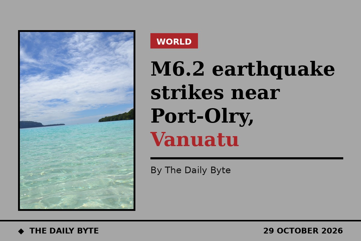
A magnitude 6.2 earthquake struck 43 km east-south-east of Port-Olry, Vanuatu, at 21:46 UTC on Thursday 29 October 2026, according to data from the United States Geological Survey (USGS). The earthquake was recorded at a depth of 142.8 km, at coordinates 15.189°S, 167.452°E, in the offshore waters near Espiritu Santo in northern Vanuatu.
The depth matters. At 142.8 km, this was an intermediate-depth earthquake, so its energy spread before reaching the surface. Shaking is usually weaker than from a shallow earthquake of the same size, but it can be felt over a wider area. A shaking model cited by Earthquake Today estimated moderate shaking, at intensity V, in Port-Olry and in Luganville, about 47 km away, and light shaking, at intensity IV, in the capital, Port Vila, about 298 km away. Those are modelled estimates, not confirmed damage reports.
Low expected impact, but data may be revised
The USGS PAGER system issued a green alert for the event, indicating little expected impact, according to a summary of the USGS data. The same summary reported no aftershocks of magnitude 4.5 or more within 150 km at the time it was compiled. Earthquake data are routinely revised as more readings arrive, and one tracker noted the figures had already been revised several times, so readers should check the USGS record for the latest values.
No tsunami threat reported
Watchers reported no tsunami threat associated with this earthquake, based on its location and available data. Vanuatu lies on the boundary between the Australian and Pacific tectonic plates, one of the most seismically active regions in the world, where strong earthquakes are frequent. No damage or casualty report for this event was included in the sources cited here, and none should be assumed from the magnitude alone, particularly given the earthquake's depth.
Sources: Earthquake Today, citing USGS telemetry; Zenitmap, citing the USGS Earthquake Hazards Program; Watchers.