What Causes Fog? How Fog Forms and Clears
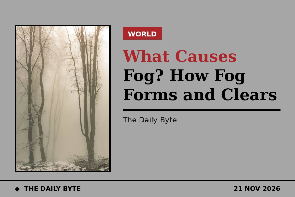
Fog is caused by tiny water droplets suspended in the air close to the ground, and it forms when moist air cools until the water vapour in it condenses. In plain terms, fog is a cloud that has formed at ground level instead of high in the sky. The Met Office defines it by what it does to visibility: fog is present when you cannot see further than 1,000 metres, and it is called dense fog when visibility falls below 100 metres. That is why a foggy morning can turn a familiar road into a white wall, and why fog is one of the most disruptive kinds of weather for drivers, airports and anyone trying to get anywhere in a hurry.
The droplets themselves are very small, between about 0.01 and 0.1 millimetres across, according to the Royal Meteorological Society. Each one is far too small to see on its own, but there are so many of them that together they scatter the light in every direction, which is what gives fog its pale, blank appearance. Fog forms in much the same way as a cloud: air that holds invisible water vapour is cooled to the point where it can no longer hold all of it, and the extra moisture condenses into visible droplets around microscopic particles floating in the air, such as dust, salt and pollution. Meteorologists call the temperature at which this happens the dew point, and fog begins to form when the gap between the air temperature and the dew point falls below about 2.5 degrees Celsius.
What fog needs in order to form
Three ingredients have to come together. First, there must be moisture in the air, which is why fog is common near rivers, lakes and the sea, and after rain has dampened the ground. Second, the air must be cooled, usually by the ground losing heat overnight or by moving over a colder surface. Third, the wind must be light. A gentle breeze helps fog to spread, but a strong wind mixes the damp air with drier air above it and blows the fog away before it can thicken. That combination, damp air, cooling and calm conditions, is why fog is most common in autumn and winter, and why it so often appears overnight and in the early morning.
Clear skies help, which surprises people who expect bad weather to arrive with cloud. On a clear night the ground radiates its heat away into space and cools rapidly, and the layer of air touching the ground cools with it. Under a cloudy sky the cloud acts like a blanket, trapping the heat and keeping the ground warmer, so fog is much less likely. This is also why fog so often follows a fine, clear evening: the very conditions that make a beautiful sunset set the trap for a foggy morning.
The five main types of fog
Not all fog forms in the same way, and the Met Office groups it into five main types, each with its own cause. Radiation fog is the most common kind in Britain. It forms on clear, calm winter nights when the ground cools by radiation and chills the air above it until the moisture condenses. It is usually shallow and patchy at first, thickening towards dawn, and it normally lifts soon after sunrise as the Sun warms the ground again, although in valleys it can linger much longer. Valley fog is closely related: cold, dense air sinks and settles into the bottom of a valley, where it condenses into fog that is trapped by the surrounding hills and can last for several days in calm winter weather.
| Type of fog | How it forms | When and where it appears |
|---|---|---|
| Radiation fog | Ground cools overnight and chills the air above it | Clear, calm winter nights; lifts after sunrise |
| Valley fog | Cold, dense air settles into valley bottoms | Winter valleys; can last several days |
| Advection fog | Warm, moist air moves over a colder surface | Coasts and sea; spring and summer |
| Upslope fog | Air is forced up a slope and cools as it rises | Hills and mountains; also called hill fog |
| Evaporation fog | Cold air passes over warmer water or wet land | Lakes and sea in cold weather; steam fog |
Advection fog forms when warm, moist air is blown over a colder surface and cooled from below. It is the fog of coasts and the sea, and it is common when mild air moves over cold water, or when a warm front passes over snow-covered ground. On the North Sea coasts of Britain it is a spring and summer phenomenon, and it has its own local names: haar in Scotland and fret in north-east England. Upslope fog, also called hill fog, forms when wind pushes moist air up the side of a hill or mountain. As the air rises it cools, and its moisture condenses, which is why hilltops so often disappear into cloud while the valleys below stay clear. Evaporation fog, also known as steam fog or sea smoke, works the other way round: cold air passes over warmer water or wet land, and the water evaporates into the cold air until it becomes saturated. It is the wisps of mist that rise from a lake on a frosty morning, and in very cold Arctic conditions it is called frost smoke.
There are other kinds too. Freezing fog is made of supercooled water droplets that stay liquid even though the air is below freezing, and it coats trees, fences and cars in a white layer of rime ice, which is why a freezing fog morning looks so beautiful and is so treacherous underfoot. Frontal fog forms near a weather front when rain falls from warm air above into cooler air near the ground and evaporates, saturating it. And in very cold places, ice fog forms instead of water-droplet fog: the moisture freezes into tiny ice crystals that hang in the air.
Fog, mist and haze: what is the difference?
The difference between fog and mist is only a matter of how far you can see. Fog means visibility below 1,000 metres. Mist is the same kind of thing, a suspension of water droplets, but thinner, with visibility between 1 and 2 kilometres. Haze is different again: it is caused by dry particles in the air, such as dust, smoke or pollution, rather than by water droplets, and it gives the air a brownish or bluish tint instead of fog's white veil. Smog is a mixture of smoke and fog, and it is a reminder that fog is not always harmless: the droplets can carry pollution, and in the famous London smogs of the past the fog mixed with smoke from coal fires to make air that was genuinely dangerous to breathe. The Great Smog of December 1952, which lasted five days and was blamed for thousands of deaths, led directly to the Clean Air Act of 1956, Britain's first law against air pollution.
That history is one reason fog still matters to public health, but for most people the main impact is on travel. Fog is worst when it is unexpected, and the Met Office issues yellow weather warnings for fog when it expects visibility to fall far enough to disrupt roads and airports. Drivers are advised to slow down, keep a much bigger gap to the vehicle in front, and use dipped headlights. Fog lights should be switched on when visibility drops below 100 metres and switched off again as soon as it improves, because they dazzle other drivers in clear air. The Highway Code advice is simple: in fog, drive as if the road ahead might be hiding something, because very often it is.
Why fog clears, and why it sometimes does not
Most fog is a morning phenomenon, and it clears for one of two reasons: the Sun warms the ground, which warms the air from below and evaporates the droplets, or the wind picks up and mixes the damp air with drier air above. Radiation fog usually burns off within a few hours of sunrise, which is why a foggy start so often turns into a bright day. But fog can be stubborn. If the fog is thick, the Sun's rays cannot reach the ground to warm it, so the fog protects itself. In a valley, the cold air is trapped and the Sun may never reach it at all in midwinter, so the fog can sit for days. Advection fog can also persist for a long time, because the sea or the snow keeps cooling the air as fast as the Sun warms it, and sea fog can drift inland on the breeze and sit over a coastal town for a whole day.
Fog is also a matter of place. San Francisco is famous for its summer fog, which rolls in from the cold Pacific and has become so much a part of the city that locals have given it a nickname, Karl the Fog. The foggiest place in Britain is often said to be the Pennines and the high ground of the north and west, where upslope fog is frequent, while the Thames valley and the low ground of the Midlands are prone to radiation fog on still winter nights. Wherever it forms, though, the physics is the same: damp air, cooling, and calm, and a sky that turns white because millions of tiny droplets are scattering the light in every direction.
Frequently asked questions
What causes fog? Fog is caused by water vapour condensing into tiny droplets when moist air is cooled to its dew point near the ground. The cooling can come from the ground losing heat overnight, from warm air moving over a cold surface, from air rising up a slope, or from cold air passing over warmer water.
What is the difference between fog and mist? Both are suspensions of water droplets, but fog reduces visibility to less than 1,000 metres, while mist is thinner, with visibility between 1 and 2 kilometres.
Why is fog most common in winter? Winter nights are long, clear and calm, which lets the ground cool sharply, and the air is often damp. Fog needs cooling and moisture together, and winter supplies both more often than summer.
Can fog be dangerous? Yes, mainly for travel. Dense fog, with visibility below 100 metres, makes driving hazardous, and it can delay or divert flights. Freezing fog also leaves ice on roads and surfaces, and fog mixed with pollution can irritate lungs.
Why does fog usually clear by midday? The Sun warms the ground after sunrise, which warms the air and evaporates the droplets. A rising wind also clears fog by mixing the damp air with drier air. Thick fog or valley fog can resist both and last all day.