Atmospheric River to Bring Heavy Rain and Mountain Snow to US West Coast
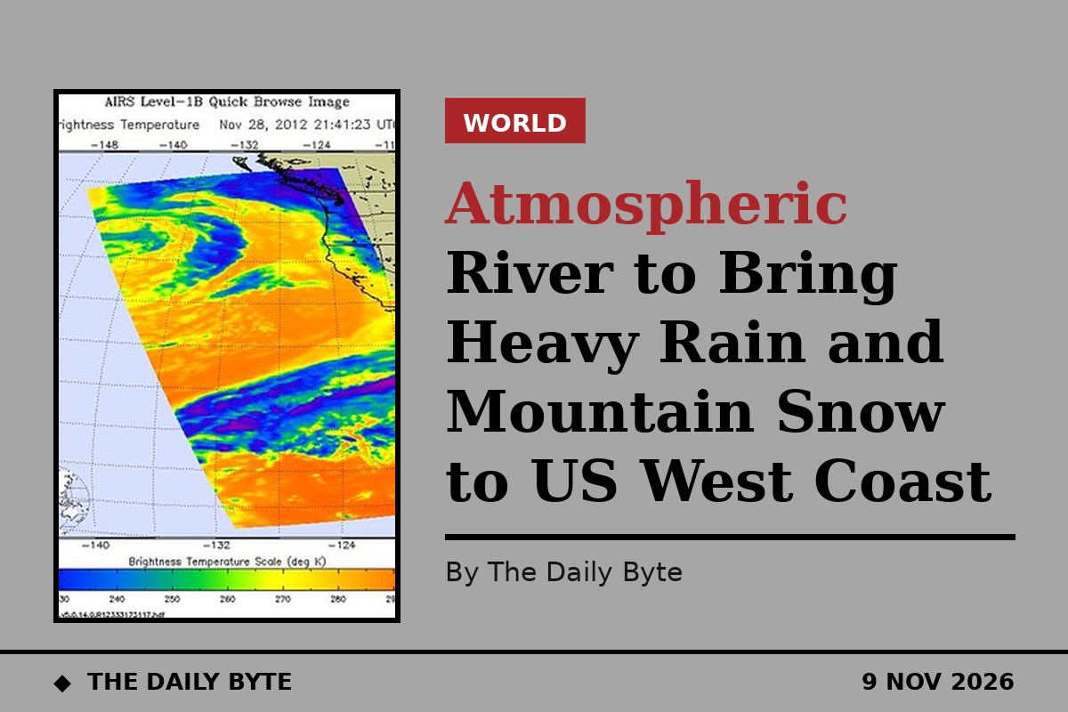
A run of Pacific storms fuelled by an atmospheric river is set to bring heavy rain, mountain snow and strong winds to the west coast of the United States through the second week of November, forecasters say. The wettest weather is expected across the Pacific Northwest and northern and central California, with the north coast of California bracing for possible flooding.
The first storms in the sequence moved into Washington and Oregon late last week, and the pattern is expected to continue for days. The National Weather Service's Weather Prediction Center said on 7 November that an active Pacific storm track would keep sending disturbances and plumes of atmospheric river moisture onshore, bringing enhanced precipitation across the Pacific Northwest and California through next week, with periods of heavy rainfall, mountain snow and gusty coastal winds possible.
Heavy rain for the Olympic Mountains
The heaviest rain so far has been aimed at the Olympic Mountains in Washington, one of the wettest places in the country, where up to five inches of rain was possible from the first round of storms. Around one to two inches was expected in Seattle, Tacoma and Bellingham through Sunday, with scattered showers returning on Sunday before the next storm arrives on Monday night.
Wind alerts were in effect across coastal parts of north-west Washington, Puget Sound and the outer coast, with gusts of up to 50 miles per hour. Snowfall was expected mainly at higher elevations in the Cascades, where up to six inches was possible, and forecasters said the atmospheric river would keep rotating storms through western Canada, prolonging the wet weather through much of next week.
More storms ahead next week
Further heavy weather is expected later in the week. The National Oceanic and Atmospheric Administration's Climate Prediction Center has put parts of the Pacific Northwest and northern and central California at moderate risk of heavy precipitation from 12 to 15 November, with a moderate risk of heavy snow at high elevations in the Klamath and Sierra Nevada mountains and of high winds along the coasts of Washington, Oregon and much of California. Flooding is possible in parts of the Pacific Northwest and northern California.
Forecasters say a very strong El Nino is helping to set up the pattern, with above-average atmospheric river activity expected over the US west coast next week. The Climate Prediction Center puts the risk of heavy precipitation at 40 to 60 percent across parts of the Pacific Northwest and northern and central California from 13 to 15 November, although the exact tracks of individual storms are still shifting.
While the West turns wet, much of the rest of the country will start the week unusually warm, with colder air sweeping east behind a pair of cold fronts by Friday, bringing temperatures in the north-central and north-eastern states a few degrees below normal.