South Devon Flood Warning as Heavy Rain Nears
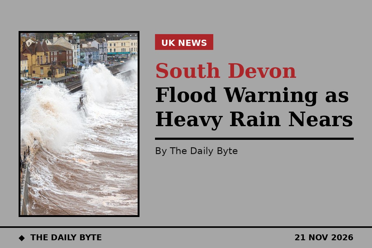
A flood warning is in force for the South Devon coast, and a yellow warning for heavy rain covers Devon and Cornwall, as the south west prepares for a wet and windy Sunday.
The Environment Agency issued the flood warning at 3.18pm on Saturday 21 November. It says flooding is expected on Sunday, and people should take action now. The warning covers exposed coastal areas at Hallsands, Beesands, Torcross, Slapton, Blackpool Sands, Teignmouth Promenade and Dawlish.
High tides, strong winds and large waves are expected to cause the flooding. The agency says flooding is expected for three hours either side of the high tides, and it is asking people to avoid coastal roads, footpaths and car parks that may be flooded.
The Met Office issued its yellow warning for rain at 10.11am on Saturday. It says a slow-moving band of heavy rain may cause some flooding and transport disruption, particularly across south Devon and south Cornwall. The warning covers Cornwall, Devon, Plymouth and Torbay.
The rain is expected to become slow-moving across the south west during Sunday, before clearing on Sunday night. The Met Office describes the impact as significant, although it puts the likelihood of the worst effects at low, between 10 and 25 per cent.
High tides and heavy rain
The highest tide at Teignmouth on Sunday morning is at 4.15am. The Environment Agency forecasts a total high tide level of 2.14 metres above ordnance datum, which is 0.56 metres above the tide table level. Strong force 6 south-easterly winds are forecast over the high tide, with offshore wave heights of more than 2.1 metres.
The evening high tide at Teignmouth is at 4.30pm on Sunday. The forecast total level is 2.15 metres above ordnance datum, 0.4 metres above the tide table level, with strong force 6 easterly winds and offshore wave heights of more than 2 metres.
Rainfall totals of 20 to 40 millimetres are likely quite widely, according to the Met Office, with 50 to 70 millimetres over higher ground. There remains a chance of heavier and more persistent rain developing, which could bring 60 to 80 millimetres to some lower-lying areas, particularly Torbay, South Hams and south Cornwall, and around 100 millimetres over Dartmoor.
That combination matters because the rain falls on ground that is already wet in places, and because the heaviest rain is expected at the same time as the high tides. Slow-moving rain can also cause localised flooding on roads, and disruption to travel, even where the totals are not exceptional.
What to do if you are on the coast
The Environment Agency says it is closely monitoring the situation, and the flood warning message will be updated by 2pm on Sunday 22 November, or sooner if the situation changes. People in the areas named in the warning should check for updates before travelling to the coast.
Coastal roads, footpaths and car parks in the exposed areas should be avoided while the warning is in force, particularly around the high tides. Large waves can overtop sea walls and promenades with little warning, and the water can be strong enough to sweep people off their feet.
Drivers should also allow extra time for journeys across the south west on Sunday, and check the latest warnings before setting off. The Met Office warning covers the whole of Sunday, and the rain is not expected to clear until Sunday night.
The flood warning for the South Devon coast is one of the warnings in force for Sunday. Anyone living or working near the coast in the areas named should make sure they know where the nearest higher ground is, and keep phones charged so they can receive updates.
Further updates will come from the Environment Agency and the Met Office as Sunday progresses, and the warnings will be lifted or extended as the weather develops.