Easter Island earthquake: M6.4 quake strikes, no tsunami
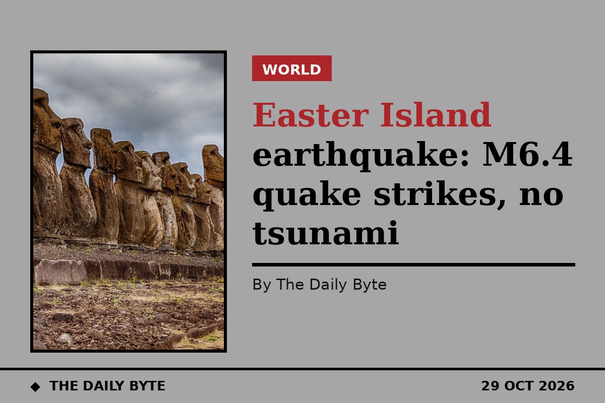
A strong, shallow earthquake of magnitude 6.4 struck south-east of Easter Island in the Pacific Ocean on Thursday, 29 October, with no tsunami threat reported.
The United States Geological Survey (USGS) recorded the quake at 07:49 UTC at a depth of 10 kilometres, according to The Watchers. The European-Mediterranean Seismological Centre gave the same magnitude at a depth of 3 kilometres. The epicentre was about 1,483 kilometres south-east of Hanga Roa, the main town on Easter Island, and more than 2,150 kilometres from the Chilean mainland coast.
No tsunami threat, low damage risk
There is no tsunami threat from the earthquake, The Watchers reported. The USGS issued a Green alert for shaking-related deaths and economic losses, meaning a low likelihood of casualties or damage — a finding consistent with the quake's remote ocean location, far from populated areas.
Part of a busy seismic day
The quake was the largest of 30 earthquakes of magnitude 4.5 or greater recorded in the 24 hours to 29 October, according to Orbis Weather's daily hazards report. A separate magnitude 5.8 earthquake off the Philippines on Thursday morning was also listed with no tsunami flag, although that event is not the subject of this report.
No damage or injuries from the Easter Island-region quake had been reported at the time of writing, and readers should follow official warnings from national weather and geological services over any summary.
Sources: The Watchers and Orbis Weather.