Met Office Issues New UK Wind Warnings After Storm Boelo Weekend
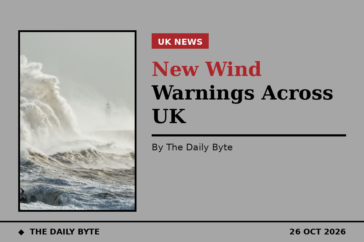
The Met Office has issued new yellow warnings for wind across parts of the United Kingdom on Monday evening, days after Storm Boelo brought widespread disruption over the weekend. A warning covering parts of north-west England, Northern Ireland, south-west England, south-west Scotland and west Wales is in force on Monday evening until 3am on Tuesday, with a separate yellow warning for Scotland and northern parts of Northern Ireland running from 3am until 9pm on Tuesday.
Forecasters expect strong south to south-westerly winds to build from the west, with gusts of 45 to 50mph inland and 60 to 65mph on exposed coasts and higher ground, plus heavy rain at times. In Wales, the Monday-evening areas named include Bridgend, Carmarthenshire, Ceredigion, Conwy, Gwynedd, the Isle of Anglesey, Neath Port Talbot, Pembrokeshire and Swansea.
Possible disruption and the Tuesday danger-to-life wording
The Met Office warned of possible disruption including spray or large waves affecting coastal routes, delays to road, rail, air and ferry services, longer journeys for some bus and train passengers, delays for high-sided vehicles on exposed routes and bridges, and some loss of power or other services. For the Tuesday warning, it said there was a small chance of injuries and danger to life from large waves and beach material thrown onto sea fronts, coastal roads and properties, and from flying debris, alongside possible power cuts, road and bridge closures, and damage to buildings and trees.
The warnings follow a weekend in which Storm Boelo brought gusts of up to 85mph in places, flooded roads, fell trees and left many homes without power. Travellers should check the latest Met Office warnings and their transport operator before setting out, as local impacts may differ from the wider forecast.