Heavy Rain Warning Issued for Devon and Cornwall
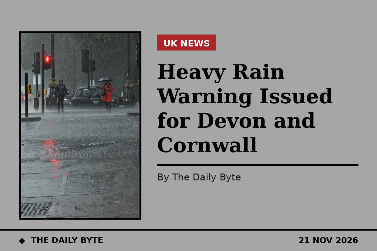
The Met Office has issued a yellow warning for heavy rain across south Devon and south Cornwall on Sunday, warning that a slow-moving band of rain may cause flooding and transport disruption.
The warning, issued at 10:11am on Saturday 21 November, covers Torbay, the South Hams and south Cornwall, with the heaviest rain expected over higher ground. The rain is due to become slow-moving across south-west England during Sunday before clearing on Sunday night.
Rainfall of 20 to 40mm is likely quite widely, with 50 to 70mm over higher ground. There remains a chance of heavier and more persistent rain developing, which could bring 60 to 80mm to some lower-lying areas too, particularly Torbay, the South Hams and south Cornwall, and around 100mm over Dartmoor.
How much rain is expected
The Met Office rates the impact of the rain as significant, but the likelihood of the worst totals as low, at 10 to 25 per cent. A yellow warning is the lowest of the Met Office's three warning levels, and means people should be aware of possible disruption rather than expecting severe impacts everywhere.
The warning is in force for Sunday, when the band of rain is expected to stall over the south-west. Rain arriving later on Saturday night will spread into the region first, with winds strengthening as it does so.
Across the rest of the country, Sunday is expected to be mostly dry, with sunny spells across central and northern areas. Temperatures will be near normal, though rather cold for the north and west.
Flooding and travel disruption
Heavy rain falling on already wet ground can cause surface water flooding, and the Met Office warns that some flooding and transport disruption is possible, particularly across south Devon and south Cornwall. Drivers should expect spray and standing water on roads, and allow extra time for journeys through the warning area.
The warning follows a cold and frosty start to Saturday, with a dry day and plenty of sunshine for most of the country. Any showers in the far north were expected to ease, though it was due to become breezier across western and south-western areas later in the day.
Overnight, temperatures will fall again with widespread frost. Cloud will increase in north-east England and eastern Scotland, with a few showers, wintry over hills, while wind and cloud increase in the south-west and rain arrives later.
What to do in the warning area
People in south Devon and Cornwall should check local conditions before travelling on Sunday and keep an eye on updates from the Met Office, as the forecast for the heaviest rain may change. The warning will be updated if the rain is expected to be heavier or more widespread than currently forecast.
Local flood information is available from the Environment Agency, and drivers are advised to avoid driving through flood water, where the depth and the state of the road underneath cannot be judged.