Montana Faces 100mph Gusts as Alaska Braces for Storm
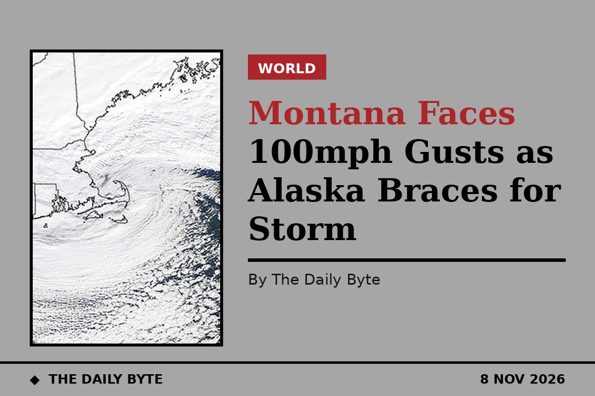
The National Weather Service has warned residents in Montana and Alaska of damaging winds on Sunday, 8 November, with isolated gusts near 100 mph possible along Montana's Rocky Mountain Front. High wind warnings also cover other parts of north-central Montana, with lower peak gusts expected away from the Front, and another windy period is possible on Tuesday.
Forecasters in Great Falls say air flowing across the Rockies can oscillate like a wave on the eastern side of the mountains, and that pattern, together with daytime mixing, can bring fast winds from aloft down to the ground in powerful gusts. The warning states that damaging winds will blow down trees and power lines, that widespread power outages are expected, and that travel will be difficult, especially for high-profile vehicles. People are urged to secure vessels and loose objects that could be blown around or damaged.
Alaska faces coastal rain and pass snow
In Alaska, a deep low in the Gulf of Alaska is forecast to send a moist front across the panhandle from Sunday night into Monday. The National Weather Service in Juneau expects the strongest winds along the eastern Gulf coast, with uncertainty over how much of the wind aloft reaches the ground on exposed islands. Rain is expected at lower elevations, while snow is forecast on the higher stretches of the Haines and Klondike highways.
Forecasters say the windy pattern in Montana could return on Tuesday, when another period of strong gusts is possible along the Front. The repeated rounds of wind mean residents should not assume the danger passes after Sunday evening, and loose objects, outdoor furniture and unsecured equipment should stay tied down or brought inside until the pattern eases. Power companies in the region will be watching for outages, and drivers of high-profile vehicles, including lorries and caravans, should expect difficult conditions on exposed stretches of road.
The same weather system is also driving waves on Lake Superior, where the National Weather Service in Marquette expects waves to peak at eight to 15 feet in the east, highest from Munising eastward, after a cold front crosses the lake on Sunday afternoon. Residents in the affected areas are advised to stay indoors during high winds, postpone outdoor activities while warnings are in force, and keep clear of roadways, roofs and other elevated areas if caught outside.
Residents are advised to monitor the latest forecasts and warnings for updates, as wind speeds and the areas affected can change quickly with this kind of fast-moving system.