Northeast Braces for Late-Week Snowstorm and Big Freeze
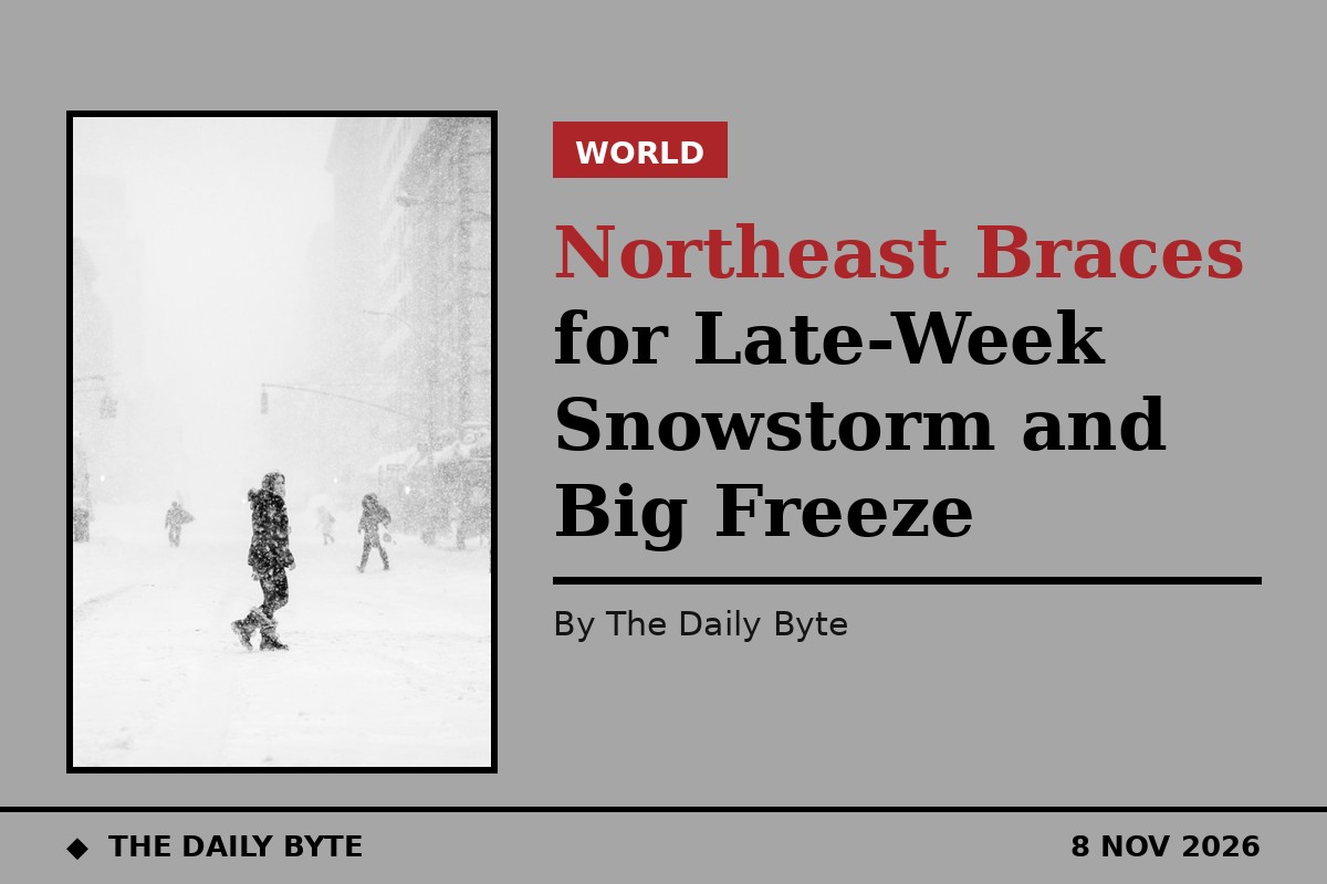
The northeastern United States could see its first snow of the season before the end of the week, as a developing storm system moves in behind a sharp drop in temperatures. Fox Weather reported on Sunday that a low-pressure system is expected to form across the Ohio Valley later in the week and track towards the Mid-Atlantic by Friday, bringing rain, snow and gusty winds to the coast from Thursday through Saturday.
Forecasters say the mountains of the Northeast have the best chance of accumulating snow, while lower-lying areas are more likely to see rain. The National Weather Service office in Binghamton, New York, is watching the same system and says higher ground in central and eastern New York, including the Catskills, has the best chance of measurable snow if colder air becomes established.
What is certain is the cold. From late Friday, air from Canada will spread across the eastern United States, with daytime highs in the 30s and 40s across the Northeast, the Great Lakes and the Ohio Valley, and overnight lows falling into the 20s. The cold air could reach the Gulf Coast and Florida by Sunday. Fox Weather notes that while more than 300 million Americans will be above average temperature on Tuesday, more than 160 million are expected to be below average by Saturday.
There is still plenty of uncertainty. Forecasters stress that the storm's exact track, snowfall amounts and coastal winds are not yet settled. A track closer to the coast could bring strong winds and significant coastal impacts, while a more inland track would shift where the heaviest rain and snow falls. The National Weather Service cautions that it is too early for reliable snowfall projections, and residents should follow updated local forecasts as the system develops.