South Texas Flash Flood Threat as Rain Hits 5 Inches
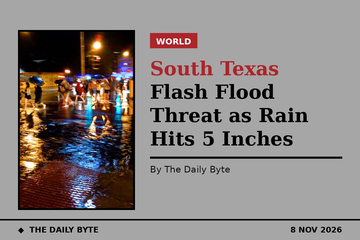
South Texas and the Texas Hill Country face an elevated flash flood threat on Sunday, 8 November, as a slow-moving, El Nino-influenced weather system delivers prolonged rainfall across the region. The National Weather Service Weather Prediction Center has placed much of South-Central and South Texas under a Level 2 out of 4 risk of excessive rainfall, with the greatest concern centred on the corridor from Laredo to Corpus Christi and down to Brownsville.
Rainfall totals of two to five inches have been forecast across Laredo, Brush Country and the Rio Grande Plains, with isolated spots south-west of San Antonio toward Laredo possibly receiving as much as six inches. Parts of Duval County had already picked up almost five inches by Sunday morning, according to Texas Storm Chasers, and a few flash flood warnings were already in force just west of Corpus Christi. Forecasters say an additional, localised five to eight inches is possible in the hardest-hit areas through Monday morning.
Heaviest rain expected overnight
The most persistent and heaviest rainfall is expected during Sunday afternoon and overnight into Monday morning, when further rounds of rain fall on ground that is already saturated. A flood watch covers much of South Texas through Monday morning. As soils saturate, the flood threat rises, and pockets of flooding are likely across the Coastal Bend, South Texas and the Rio Grande Valley, even though severe storms are not expected.
San Antonio and the Hill Country, including Kerrville, Fredericksburg and Boerne, are forecast to receive about one and a half to two and a half inches, with isolated totals approaching four inches. The Coastal Bend faces one to four inches, alongside minor coastal flooding monitored by the National Weather Service around periods of high tide. Houston sits on the lighter edge of the system, with only about half an inch expected through Tuesday.
Travel disruption is expected to be greatest during Sunday afternoon and overnight into Monday morning, when the heaviest rain falls on already wet ground. Standing water and localised roadway flooding could increase across the southern part of the affected region, particularly along major travel corridors serving San Antonio, Laredo and the United States-Mexico border. Reduced visibility, slippery pavement and accumulating surface water are all expected to make driving harder, and conditions could vary sharply between neighbouring communities, with some receiving manageable rainfall while others see substantial water accumulation.
Drivers warned over low-water crossings
Temperatures are forecast to stay in the 50s to lower 60s through the rain, with northerly winds of around 15 mph and gusts reaching 25 mph. Officials have urged motorists to stay alert to changing road conditions and never to drive through flooded roads or standing water of uncertain depth. Low-water crossings, common across South Texas and the Hill Country, can become dangerous quickly when runoff enters creeks and drainage channels. Rain chances are expected to decline during Monday afternoon, followed by drier conditions on Tuesday.