Spring Snow Falls on Australian Alps in November Cold Snap
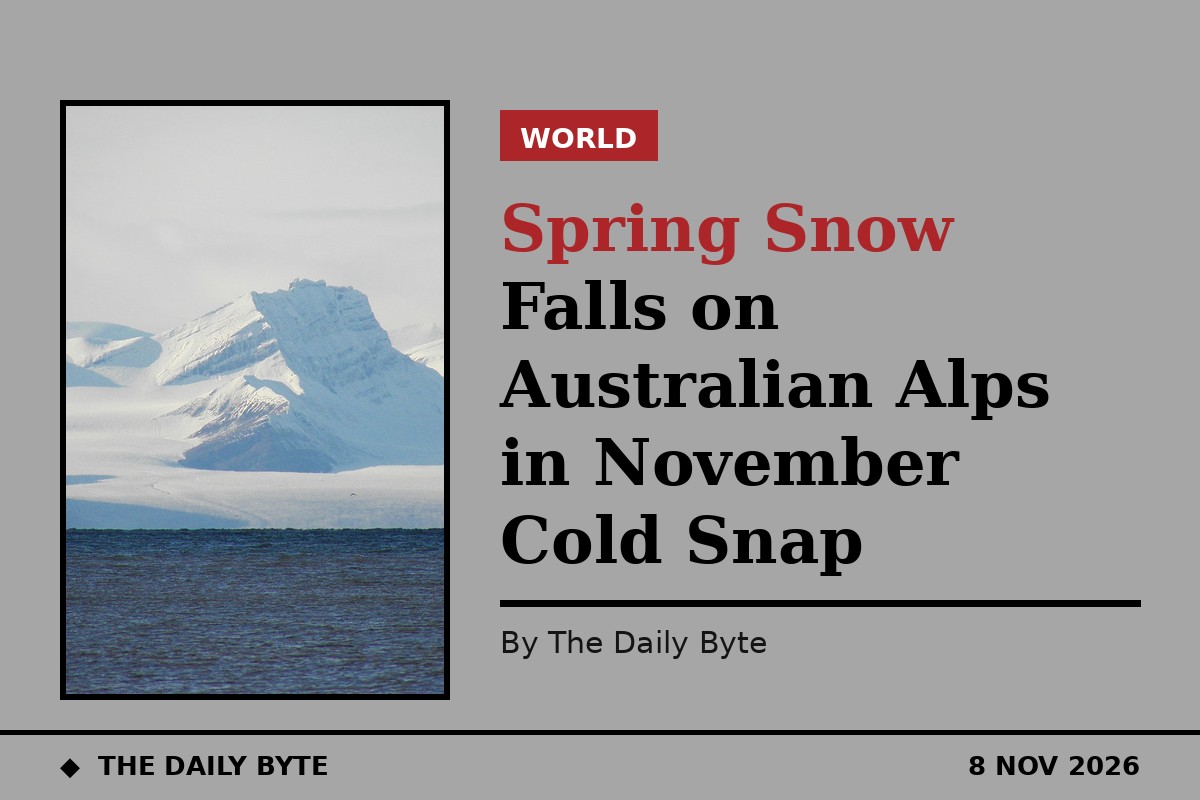
Snow has fallen across the alpine country of New South Wales, Victoria and Tasmania as an unseasonal cold blast swept through south-east Australia, turning ski fields white in the middle of spring. Thredbo, Perisher and Mount Hotham all recorded falls over the weekend, and snow also settled on kunanyi/Mount Wellington above Hobart.
The Bureau of Meteorology had warned that the falls were coming, and the snow arrived more or less on schedule, falling through Saturday and continuing into Sunday morning. A photograph of the snow stake at Perisher Valley, taken at 8.18 on Sunday morning, showed a fresh white cover across the resort. Perisher recorded about 10 centimetres of snow on Saturday afternoon, and snow cameras at the state's resorts showed a solid layer still in place on Sunday morning.
The system behind the chill was a two-pronged burst of wintry weather brewing in the Southern Ocean, with two distinct cold fronts crossing the south-east in a pattern more reminiscent of midwinter than late spring. Rain, hail, gusty winds and snow in the elevated areas all came with it. The first front moved through on Wednesday, bringing chilly conditions to parts of South Australia. The second and stronger front arrived on Friday and into the weekend, and it was this one that delivered the coldest air.
Melbourne was expected to reach a maximum of only around 14 degrees on Saturday, well below the city's average November maximum of 22 degrees and colder than a typical winter day there, with average maximums of 14.1 degrees in June, 13.5 in July and 15 in August. Hobart was also expected to reach just 14 degrees on Saturday, against its average November maximum of 18.8 degrees, with showers accompanying the cold air in both cities.
The snow fell to levels that would be considered low even in the depths of winter. Forecasters had predicted a Saturday snow level of about 400 metres in parts of Tasmania and between 800 and 900 metres in the New South Wales and Victorian high country, low enough to dust slopes that rarely see snow at this time of year, and the falls duly arrived across the resorts and the high country. Snow was also recorded in Cooma, Jindabyne and Thredbo in New South Wales.
The Bureau said the chill came from a weather system filled with cold air moving north from towards Antarctica, and that the apparent temperatures were running much cooler than forecast. South-westerly winds were also pushing the feels-like temperature down, and by midday Adelaide, Melbourne, Hobart, Canberra and Sydney had all felt cooler than 13 degrees. Adelaide recorded the highest temperature of the group at that point, a top of 17.5 degrees that felt like 12.3, while Canberra had the lowest, a maximum of 12.9 degrees that felt like just 5.3. Brisbane, Perth and Darwin, meanwhile, were all enjoying temperatures in the 20s or 30s.
The unseasonal snow drew a rush of posts on social media from people puzzled by the spring weather. Madeleine McVie, a retail manager at Thredbo, posted on Instagram on Saturday afternoon that it was snowing in springtime in Australia in November, adding that it was fully snowing rather than just a light dusting. She posted another clip on Sunday morning of herself riding empty chairlifts through the park as the snow continued to fall. In Tasmania, the Kingston Crows cricket club shared an image of the Kingston Beach Oval on Saturday coated in hailstones.
For all the surprise, the forecasters say November snow in the high country is uncommon rather than unheard of. The Bureau noted that many of the places hit by snow in the past 24 hours also recorded a fall in November 2022, and Weatherzone pointed out that snowfalls in elevated parts of the south-east at this time of year are infrequent but not unusual. In most cases the snow melts within a day or so, though forecasters advised it would still be wise to reconsider any outdoor plans in mountainous regions over the weekend.
Warmer weather is expected to return quickly, with higher temperatures forecast for Monday and all capital cities expected to reach at least 20 degrees by Tuesday, and the blast may be one of the last cold snaps of the year. The Bureau, the United Nations and other bodies have warned about the likely impacts of a supercharged El Nino described as jaw dropping, with the climate crisis, driven by pollution from fossil fuels, already intensifying extreme weather around the world. The El Nino is expected to push those effects further, and the southern hemisphere summer is predicted to be hotter and drier as a result, bringing greater wildfire risk and droughts in Australia and southern Africa.