Storm Cempaka to brush Philippines as Samuel
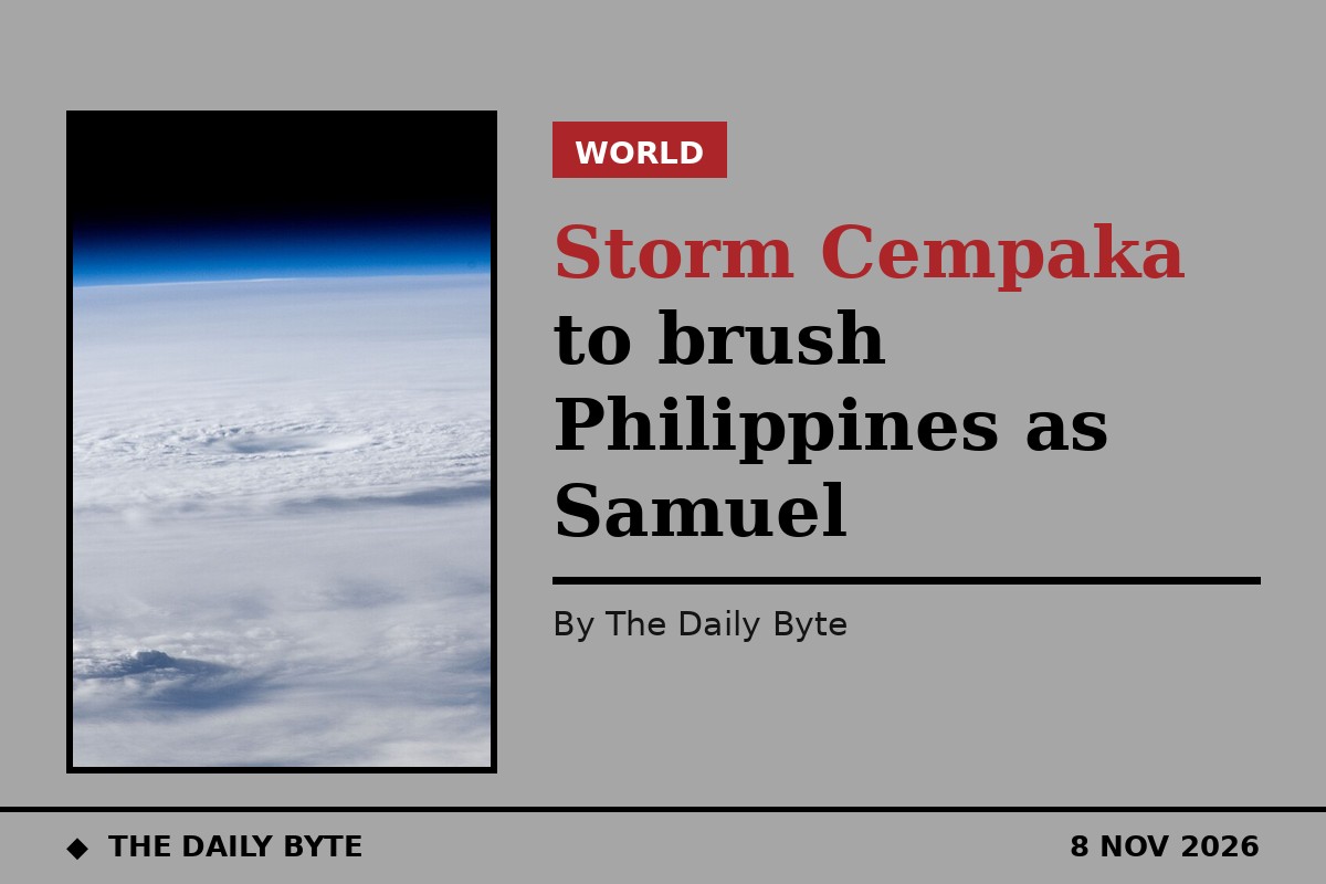
Severe Tropical Storm Cempaka is on course to brush the edge of Philippine-monitored waters on Sunday night, with forecasters expecting it to reach typhoon strength even as it stays far out at sea. The storm will be given the local name Samuel once it enters the Philippine Area of Responsibility, but no landfall is expected.
The Philippine Atmospheric, Geophysical and Astronomical Services Administration, known as PAGASA, placed the storm well east of extreme northern Luzon on Sunday morning. In its 4am daily weather bulletin, the agency put Cempaka 1,865 kilometres east of extreme northern Luzon, at 21.3 degrees north and 139.8 degrees east, with maximum sustained winds of 110 kilometres per hour and gusts of up to 135 kilometres per hour. It was moving west-northwest at 30 kilometres per hour.
By the time PAGASA issued Tropical Cyclone Advisory No. 2 at 11am, the storm had moved closer. It was then located at 21.5 degrees north and 138.4 degrees east, roughly 1,720 kilometres from the Philippine coastline and still outside the area of responsibility. Its strength was unchanged, with sustained winds of 110 kilometres per hour, gusts of up to 135 kilometres per hour and a central pressure of 990 hectopascals. Its wind field extended as far as 380 kilometres from the centre.
Brief entry, then a turn away
PAGASA said Cempaka was forecast to enter the Philippine Area of Responsibility between Sunday evening and early Monday morning, 9 November. On crossing into Philippine-monitored waters it will be assigned the local name Samuel. Its stay inside the area is expected to be short-lived: the storm is forecast to shift to a north-northeastward track by Monday afternoon or evening and leave through the area's northeastern boundary shortly afterwards.
The agency expects the storm to keep strengthening over the Philippine Sea. By 8pm on Sunday it is projected to reach typhoon-category winds of 130 kilometres per hour while still about 1,485 kilometres east of extreme northern Luzon. By 8am on Monday it is forecast to carry winds of 140 kilometres per hour, and to peak at 155 kilometres per hour by 8pm on Monday. It is then expected to weaken gradually, dropping back to severe tropical storm strength by Thursday, 12 November.
No direct effect, but rough seas ahead
PAGASA confirmed that Cempaka is expected to remain over the Philippine Sea for the whole of its forecast period and will not directly affect weather or sea conditions across the country. No part of the country has been placed under a tropical cyclone wind signal in connection with the storm.
Seas are nevertheless expected to turn rough. The northeast monsoon, known locally as amihan, is already bringing moderate to rough seas along the seaboards of northern and central Luzon. PAGASA warned that very rough sea conditions may develop along northern Luzon's seaboards from Tuesday, 10 November, as Cempaka intensifies offshore, and said a gale warning may be issued as early as Monday. Mariners and fishing vessels in the area have been advised to take precautions.
Separate weather systems are bringing rain to parts of the country on Sunday. The easterlies are affecting the rest of the Philippines, with cloudy skies, scattered rain and thunderstorms expected over the Bicol region, eastern Visayas, Quezon, Surigao del Norte, Surigao del Sur, Dinagat Islands and Davao Oriental. PAGASA warned of possible flash floods or landslides from moderate to at times heavy rain in those areas. Metro Manila and the rest of the country can expect partly cloudy skies with isolated rain showers or thunderstorms.
PAGASA said Advisory No. 2 remains valid until the next scheduled bulletin at 11pm on Sunday, unless an intermediate bulletin is released sooner.
[Source: PAGASA](https://www.pagasa.dost.gov.ph/weather) | [Source: Breaking News NegOr](https://breakingnewsnegor.com/article/storm-cempaka-set-to-brush-par-before-turning-away-nov-8-6951)