UK Coldest Night of Autumn as Temperatures Hit -10.6C
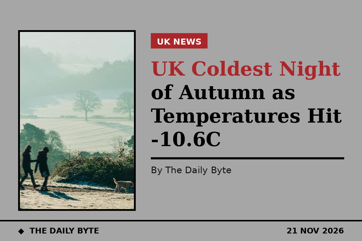
Temperatures fell to minus 10.6C in the Scottish Highlands overnight, making it the coldest night of the autumn so far across the UK.
The lowest temperature was recorded at Tulloch Bridge, according to the Met Office, after a widespread frost developed under clear skies on Friday night. It beat the previous low of the season, minus 8.4C, which had been recorded at the same Highland site overnight on Thursday.
Sky News reported that minus 10C was recorded at Tulloch Bridge in the early hours of Saturday, confirming that the overnight chill had gone further than the minus 9C or 10C forecasters had predicted for sheltered parts of rural Scotland.
Cold health alerts extended to Tuesday
The UK Health Security Agency has extended its yellow cold health alerts for the North West, the North East and Yorkshire and the Humber until 9am on Tuesday. The alerts warn of a greater risk to life for vulnerable people and of increased pressure on health and social care services.
Met Office chief forecaster Matthew Lehnert said patches of freezing fog could form overnight, particularly across Northern Ireland, eastern England and around the Solway Firth, with isolated patches of dense fog possible further south. Freezing fog can make driving difficult on Saturday morning, and motorists have been urged to take care.
The far south of England was expected to largely escape the frost, with temperatures there staying a little above freezing, while the rest of the country woke to a cold and frosty start.
Frosty start, brighter Saturday
After the cold and frosty start, most places were expected to enjoy a largely dry and bright Saturday. It was set to stay chilly, particularly in north-eastern parts of the UK, while temperatures in the South West were closer to average.
Daytime highs in parts of Scotland and northern England were forecast to reach only 4C, while most of central and eastern England, as well as Northern Ireland, were expected to see temperatures of around 7C to 10C.
About a dozen flood alerts remained in place for England on Friday after a spell of wet weather, and more could be issued over the weekend as rainy and windy conditions were forecast for the South West.
Arctic air behind the freeze
The cold snap has been driven by Arctic air spreading across the UK from the north, while a milder Atlantic air mass has held on in the far south-west. The clash between the two air masses has left the UK divided, with the north cold and the far south-west milder.
Rain was forecast to arrive in some southern and western areas on Sunday, with light showers in the north of England and more persistent rain in the South West. That change was expected to bring milder air, with temperatures in the far south-west possibly climbing to 12C or 14C.
Later in the week, computer weather models suggest outbreaks of rain will make more progress eastwards. If the air is cold enough when weather fronts arrive, some rain could turn to snow over high ground, especially in the north of the UK, although forecasters stressed there was a lot of uncertainty about that part of the outlook.