What is El Niño? 2026 event explained
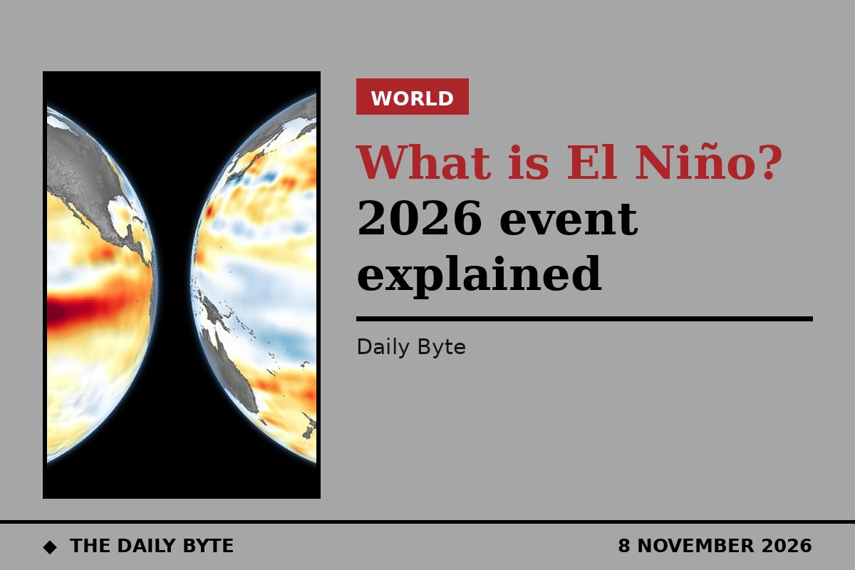
El Niño is the warm phase of a natural climate cycle in the tropical Pacific Ocean, and it changes weather patterns across the world. The current event, which began in 2026, could be one of the strongest ever recorded: the World Meteorological Organization says it may be "literally off the monitoring charts" used for the past four decades. This explainer answers what El Niño is, how it forms, how scientists measure it, and what the 2026 event means.
What is El Niño?
El Niño is one half of a cycle called the El Niño–Southern Oscillation, or ENSO. It happens when the surface water of the central and eastern tropical Pacific becomes warmer than average and the trade winds that normally blow from east to west weaken. Warm water that is usually held in the western Pacific spreads eastwards towards South America, and the upwelling of cold, deep water along the South American coast slows down.
That shift in ocean temperature changes where heat and moisture enter the atmosphere, which in turn shifts winds, rainfall and storm tracks far beyond the Pacific. A very strong El Niño disrupts normal temperature and rainfall patterns across many regions: it can bring severe drought to some areas, heavy rainfall and flooding to others, and increased heat across large parts of the world. The effects are not the same everywhere, and every El Niño is different — the exact impacts depend on the strength, duration, timing and evolution of the event.
El Niño vs La Niña
La Niña is the opposite phase of the same cycle. During La Niña, the central and eastern tropical Pacific is cooler than average, the trade winds strengthen, and cold-water upwelling increases, reinforcing the cooling. Between the two phases there is a neutral state, when neither warm nor cold conditions dominate.
The cycle does not run on a fixed timetable. El Niño events typically develop over several months, last for around a year, and recur every few years — but no two events are identical, and scientists cannot predict far in advance exactly how strong one will become.
How scientists measure El Niño
Scientists watch sea-surface temperatures in a patch of the central equatorial Pacific called the Niño 3.4 region, which runs from 170°W to 120°W and from 5°S to 5°N. The World Meteorological Organization declares an El Niño when the sea-surface temperature anomaly in this region reaches 0.5°C above average. A very strong El Niño is generally defined by a three-month average anomaly of at least 2.0°C in the Niño 3.4 region.
Forecasters use several related measures. The Oceanic Niño Index tracks three-month average temperatures in the Niño 3.4 region, while the Relative Oceanic Niño Index adjusts for the warming of the world's oceans as a whole. Satellites, ocean buoys and computer models all feed into the forecasts, and the World Meteorological Organization notes that without ocean observations, the lead time for ENSO forecasts would fall from about 4.5 months to about 3.2 months.
The 2026 event so far
The 2026 event developed quickly. At the start of the year, the Niño 3.4 region still showed weak La Niña conditions, with sea-surface temperatures slightly below average. From mid-May 2026, temperatures rose faster than at the same stage of any other major El Niño since 1950. El Niño conditions emerged in June and were firmly established by mid-August. The US National Oceanic and Atmospheric Administration's Climate Prediction Center issued an El Niño Advisory on 11 June 2026, and has kept it in force since.
By early October, the event was already exceptional. NOAA's discussion of 8 October 2026 put the Niño 3.4 anomaly at +2.1°C and said a strong-to-very-strong El Niño was likely through January to March 2027, with a greater than 83% chance. It also put the chance of a historic event in October to December 2026 — one exceeding every El Niño since 1950 — at 83%. The World Meteorological Organization's seasonal outlook of 21 October 2026 forecast sea-surface temperatures in the tropical Pacific rising to 3.8°C above average during November 2026 to January 2027. WMO Secretary-General Celeste Saulo said: "This is literally off the monitoring charts that we have used for the past four decades. El Niño will peak towards the end of 2026 but its impacts will be felt long after that." NOAA's next monthly update is due on 12 November 2026.
What it means for different regions
The WMO's 21 October outlook points to heightened risks of heavy rainfall and flooding in parts of East Africa during the October to December rainy season, and drier conditions in Southern Africa from November that could affect crops, water and livelihoods. Southeast Asia faces heat, rainfall deficits, and wildfire and smoke hazards. In the Americas, parts of western South America have already seen severe flooding, while drought risk is rising in parts of Central America, the southern Caribbean and the Amazon.
Because seasonal outlooks describe regional tendencies rather than individual events, the WMO says regional and national forecasts and expert interpretation are essential to pinpoint where and when action is needed. The WMO and the UN Office for the Coordination of Humanitarian Affairs have issued a joint call for urgent and coordinated anticipatory action, and the WMO's Coordination Mechanism for humanitarians is supporting preparedness and early action. Saulo's message is that the warning itself is useful: "A powerful El Niño does not have to be a recipe for humanitarian disaster. We have the science, the forecast, the early warnings to save lives and protect livelihoods."
For readers, the practical point is that El Niño does not mean one single weather outcome. It tilts the odds — wetter here, drier there, warmer overall — and its strongest effects arrive over months, not days.
Frequently asked questions
What is El Niño in simple terms? El Niño is a warming of the surface water in the central and eastern tropical Pacific Ocean, combined with weaker trade winds. It is the warm phase of the El Niño–Southern Oscillation cycle, and it shifts weather patterns around the world.
How is El Niño different from La Niña? They are opposite phases of the same cycle. El Niño means warmer-than-average Pacific surface water and weaker trade winds; La Niña means cooler-than-average water, stronger trade winds and more cold-water upwelling.
How strong is the 2026 El Niño? NOAA's 8 October 2026 discussion put the Niño 3.4 anomaly at +2.1°C, already above the 2.0°C threshold for a very strong event, and gave a greater than 83% chance that a strong-to-very-strong El Niño lasts through January to March 2027. The WMO forecasts temperatures up to 3.8°C above average in November 2026 to January 2027.
When will the 2026 El Niño peak? The WMO expects the event to peak towards the end of 2026, with impacts felt long after. NOAA's next monthly update is due on 12 November 2026.
Does El Niño cause climate change? No. El Niño is a natural cycle that has occurred for centuries. It temporarily shifts global weather patterns, but it is distinct from the long-term warming caused by human greenhouse gas emissions — although it is now unfolding in oceans that are warmer than ever observed.