What Is the Polar Vortex? UK Winter 2026 Explained
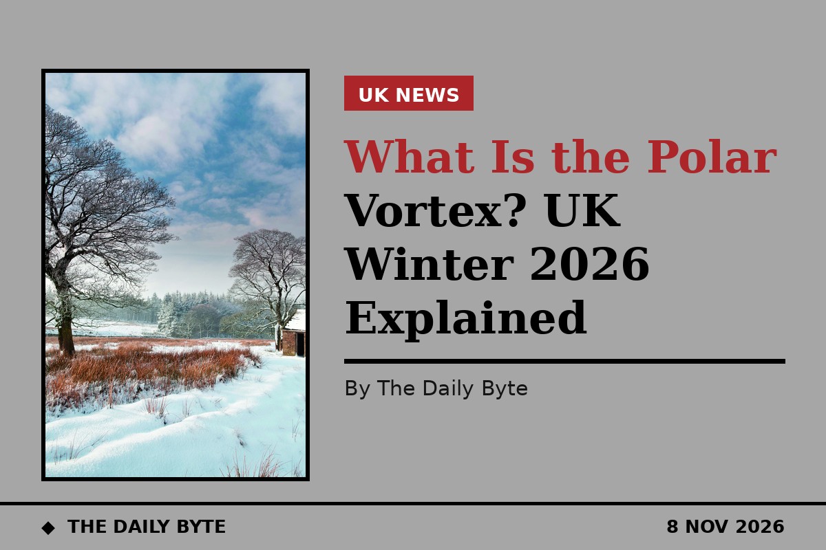
The polar vortex is a ring of strong westerly winds high above the Arctic that normally traps cold air near the North Pole, and in November 2026 it is weakening unusually early. Forecasters say the disruption could become a major sudden stratospheric warming, possibly the earliest on record, and that would raise the chance of colder weather reaching the UK later in November. It does not guarantee snow or a severe cold spell.
The vortex forms each autumn in the stratosphere, roughly 10 to 30 miles (15 to 50 kilometres) above the Earth's surface, as temperatures fall over the Arctic. While it stays strong and circular, the cold air stays locked in place. When it weakens, stretches or splits, that cold air can spill southwards towards the UK and Europe.
What is happening to the polar vortex in November 2026?
In late October and early November 2026, forecasts from the European Centre for Medium-Range Weather Forecasts (ECMWF) and NASA showed the vortex winds weakening and possibly reversing in the first half of November. The Met Office said on 30 October that it expected a sudden stratospheric warming to start the following week. BBC meteorologist Simon King reported that the vortex had stretched and briefly split into two smaller circulations.
A Met Office spokesperson described a highly unusual disruption of the stratospheric polar vortex as now under way, and said that if it becomes a major sudden stratospheric warming, it will be the earliest such event on record. The Met Office's lead climate scientist, Jeff Knight, told the BBC that it appeared to be the earliest on record in 75 years of observations, and that most experts agreed it was a very unusual event.
The previous earliest major sudden stratospheric warming events happened on 28 November, in 1968-69 and again in 2025. An event in early November would therefore come about three weeks earlier than any previously recorded one.
What is a sudden stratospheric warming?
A sudden stratospheric warming, often shortened to SSW, is what happens when the polar vortex breaks down in winter. The Met Office describes a rapid warming of the stratosphere, by up to about 50 degrees Celsius in a couple of days, as the westerly winds around the pole weaken or reverse to easterly.
Not every weakening counts as a major event. In a post on 4 November, the Met Office said many runs of the ECMWF forecast model suggested the winds could briefly reverse during the coming week, but that the expected reversal was relatively weak and short-lived, and that uncertainty remained over whether a major SSW would occur. A wind reversal on its own is not enough to confirm the event.
The reasons for the early onset are not clear. Forecasters have noted that the current record El Nino, which warms Pacific sea-surface temperatures and releases large amounts of heat and energy into the atmosphere, may have contributed. Jeff Knight suggested the strong El Nino could have helped load the dice for the event, while adding that, because it is so rare, there is not enough evidence to be sure.
What could it mean for the UK?
Changes in the stratosphere can eventually influence the jet stream, the fast-moving band of air that steers weather systems towards Britain. When the vortex weakens, the jet stream can shift, allowing colder northerly or easterly winds to reach the UK. BBC meteorologist Simon King said eastern parts of the UK could have a greater chance of snow if the weakening continued and altered the jet stream, while stressing that he was describing a possibility over the following days and weeks, not giving a specific date or a local forecast.
Met Office forecaster Marco Petagna said the disruption increases the chance of cold weather, normally a few weeks down the line, so deeper into November is when the UK is more likely to see an influence if it happens. The Met Office has said any effect at the ground, if there is one, can take two to six weeks to arrive.
History gives a guide, not a promise. An analysis of all 32 sudden stratospheric warmings since 1979 found that central England was colder than normal in the 30 days after 19 of them, against about 49 per cent of ordinary winter spells. That is a lean towards cold, not a rule. A major warming last November did not directly lead to much cold weather in the UK, a point Met Office forecasters have repeated this time.
Will it snow in the UK?
There is no forecast of widespread snow at this stage. The Met Office has been explicit that a major sudden stratospheric warming does not automatically mean snow or severe cold for the UK. Its forecast to 29 November pointed to high pressure, fog and frost first, then more unsettled weather with temperatures near or a little above normal, and it did not mention snow. Its November-to-January outlook still makes a cold three months less likely than normal, while saying cold spells remain possible.
There is also less cold air available across the Northern Hemisphere in early November than in the middle of winter, which limits how severe any early cold spell could be. The honest summary from the forecasters is that the risk of a cold snap later in November has risen, but a cold snap is not the same as a forecast of one.
Could it affect water supplies?
One less obvious risk has been raised by Professor Andrew Charlton-Perez, a meteorologist at the University of Reading who researches changes in the Arctic stratosphere and sudden stratospheric warmings. He warned that the typical response to a sudden stratospheric warming is colder and drier conditions over Europe and the UK, and that prolonged dry weather following such an event could stop reservoirs from refilling over winter.
That matters because severe drought remains in parts of Cornwall, Devon, Dorset, Somerset, and East and West Sussex after a dry year. If this event, or other warming events during winter, bring prolonged dry weather, water supplies could come under pressure even without a cold snap.
What happens next?
Forecasters will keep watching the vortex over the coming weeks to see whether the winds reverse, whether a major sudden stratospheric warming is confirmed, and whether changes in the upper atmosphere begin to influence UK weather at ground level. The Met Office continues to monitor the situation, and its longer-range outlook had already pointed to a turbulent start to winter, with colder conditions becoming more likely later in the season, broadly in line with El Nino expectations.
For now, the facts are these: the polar vortex is weakening far earlier than usual, a record-early warming is possible but not certain, and the chance of colder UK weather later in November has increased. Anything more specific than that would be guessing, and the forecasters themselves are not doing that.
Frequently asked questions
What is the polar vortex? A ring of strong westerly winds in the stratosphere above the Arctic that normally keeps cold air trapped near the North Pole.
What is a sudden stratospheric warming? A rapid warming of the stratosphere, by up to about 50 degrees Celsius in a couple of days, during which the winds around the pole weaken or reverse.
Does a polar vortex collapse mean snow in the UK? No. It raises the chance of colder weather a few weeks later, but the Met Office says a major warming does not automatically mean snow or severe cold.
Why is November 2026 unusual? If a major warming is confirmed in early November, it would be the earliest on record in 75 years of observations, about three weeks earlier than the previous earliest events on 28 November.