WMO warns current El Niño could be unprecedented
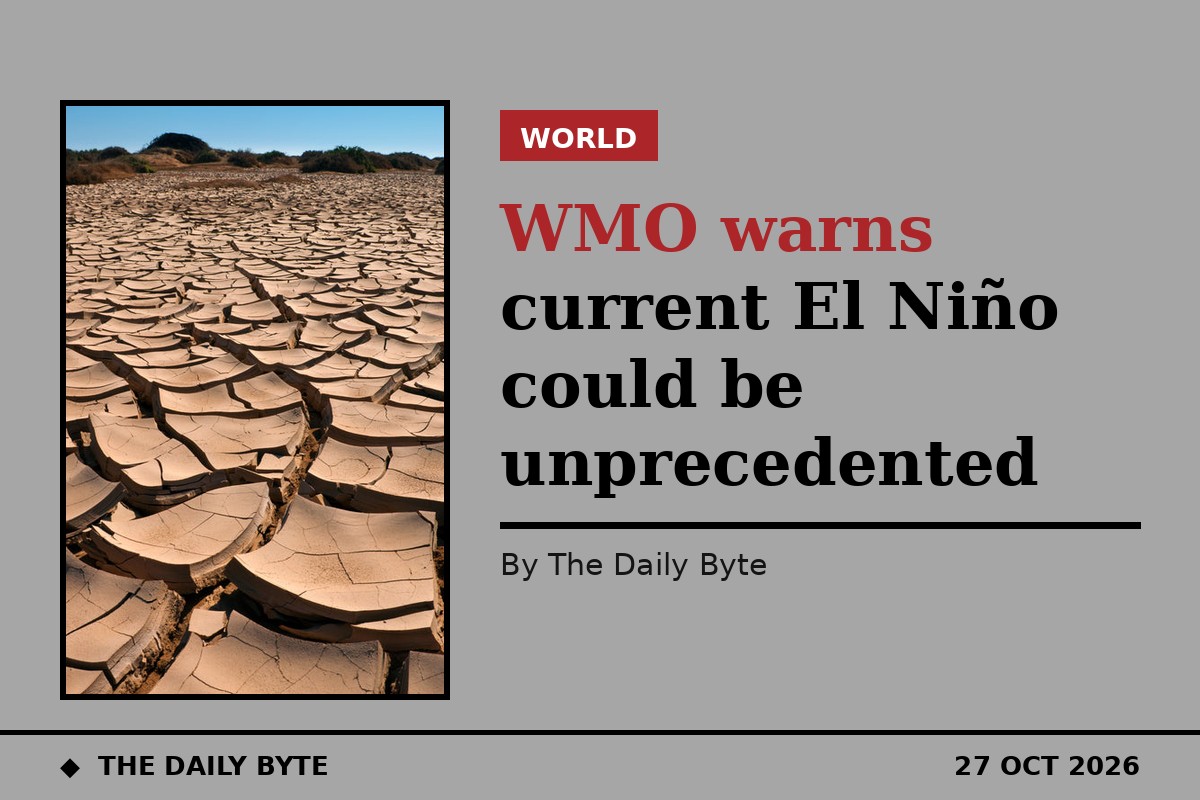
The World Meteorological Organization (WMO) has warned that the current El Niño could bring unprecedented Pacific warming, with tropical Pacific sea-surface temperatures forecast to reach 3.8°C above average from November 2026 to January 2027. WMO declares El Niño when the anomaly in that region reaches 0.5°C, so the forecast peak would be far beyond the threshold.
Off the monitoring charts
WMO Secretary-General Celeste Saulo described the event as “literally off the monitoring charts” used over the past four decades, and said it is expected to peak towards the end of 2026, with effects continuing long after. The outlook was presented jointly with UN aid chief Tom Fletcher, who called El Niño a “wrecking ball” and warned 50 million people could face increased hunger, per Phys.org reporting of the joint call.
Regional risks in the outlook
The outlook points to wetter-than-normal October–December conditions in East Africa, raising flood risk; drier conditions in Southern Africa from November, affecting crops and water; warmer conditions and rainfall deficits in Southeast Asia, raising heat, agriculture and wildfire-smoke risks; increased rainfall in southern parts of western South America and parts of North America; and drought risk in parts of Central America, the southern Caribbean and the Amazon. WMO stresses these are seasonal outlooks, not predictions of specific weather events. This is a forecast, not an observed disaster: the peak warming has not yet happened. A separate WMO greenhouse-gas report published on 27 October is not merged into this story.
Sources: World Meteorological Organization Global Seasonal Climate Update via Phys.org and Devdiscourse, 27 October 2026.