Young Hikers Lost on Fells After Using Google Maps
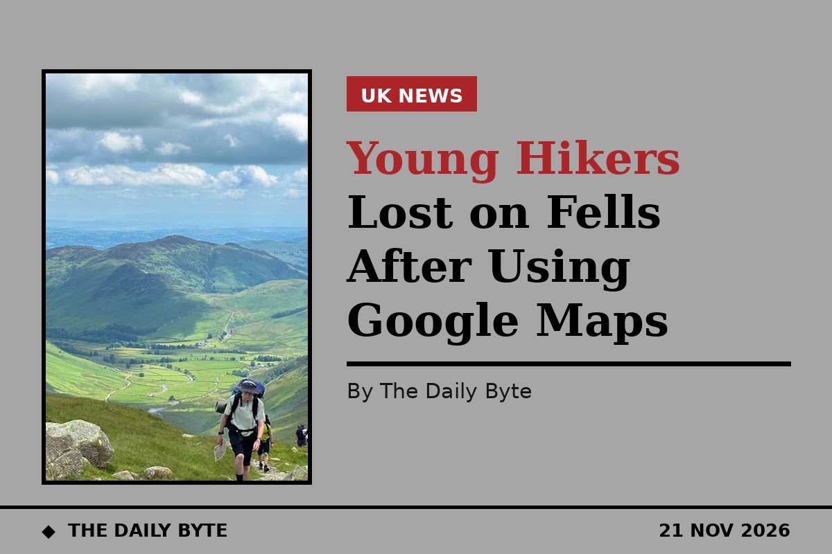
More young people are getting lost on the fells of the Lake District after relying on Google Maps to find their way, mountain rescuers have warned. Wasdale Mountain Rescue Team said the app was "not made for the mountains" after a full-team rescue on Sunday, when three men needed help after getting lost while walking down from Scafell Pike.
The three men became disoriented in the Little Narrowcove area after Google Maps stopped updating. They reported to Cumbria Police that they were stuck in the hills. The deputy head of Wasdale Mountain Rescue Team first contacted them by phone, and then the entire team of 12 specialists went to the site. The walkers were very cold because of drizzle and a gusty north-west wind, in which the temperature felt like 4.7 degrees Celsius. Rescuers found the missing men, helped them warm up, and escorted them down without any problems. The men were taken to a local pub, where their friend from Seathwaite drove up to meet them. The call was the 172nd incident for the Wasdale team this year, and it lasted nearly six hours.
A pattern among walkers aged 18 to 24
The rescue was not a one-off, according to the team. Wasdale Mountain Rescue Team said an increasing number of young people, mostly aged 18 to 24, were getting lost or into trouble after using Google Maps on their phones. The app does not display steep rocky outcrops, fell paths and contours, which show the three-dimensional shape of the land, unlike a paper map. That missing detail is what turns a wrong turn into a rescue: a route that looks straightforward on a phone screen can cross ground that is steep, broken or impassable on foot.
Pippa Archer, a mountaineering and climbing instructor who lives in Kendal, said she could see the appeal of using something free and readily available on a phone, but added that a map and compass would not set a walker back too much. She said the detail on a paper map was "crucial for staying safe" and "gives a picture of what to expect on your walk, and this is the key to not getting lost". A walking map will show where the ground gets really steep, where there are cliffs to avoid, or streams that need to be crossed, she said. Archer also warned that apps can freeze without a signal or need an update while up on the fell with no phone signal, and that using a phone for all navigation can quickly run its battery down, compromising safety if a rescue call is needed.
What rescuers recommend instead
Wasdale Mountain Rescue Team recommended OS Maps, Hiiker and Outdooractive as phone apps made for walkers, as a secondary choice for navigation on the phone. Archer said a map and compass remained the safest tools, advised taking screenshots as a back-up, and suggested practising on a familiar route with a walking map, then learning with an experienced friend or on a one-day course.
James Anstee, a winter mountain leader, said the familiarity of phone apps could make people assume they were suitable for the mountains. He said the challenge was as much about awareness and education as it was about technology, and that learning about terrain and building navigation skills could help more than simply discouraging a particular app. A Google spokesperson said the company's map app was designed for streets, that it calculated estimated times of arrival based on standard walking speeds and showed clear warnings that conditions may vary, and encouraged hikers to use trail maps and apps designed specifically for hiking. The advice to use a paper map has been repeated by rescue teams for years, and it is echoed by Google itself.